HIKE-A-BIKING THE COLORADO TRAIL
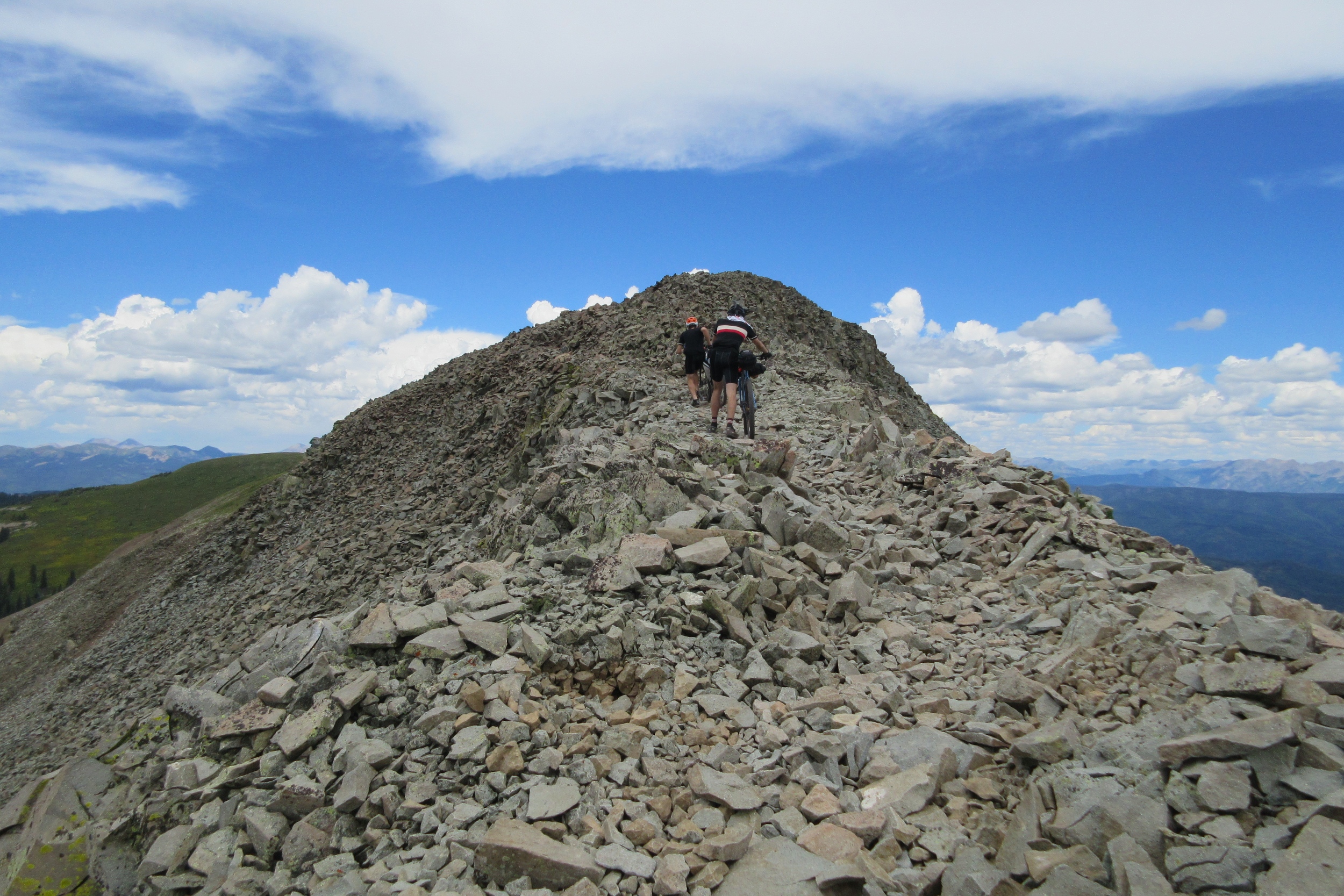
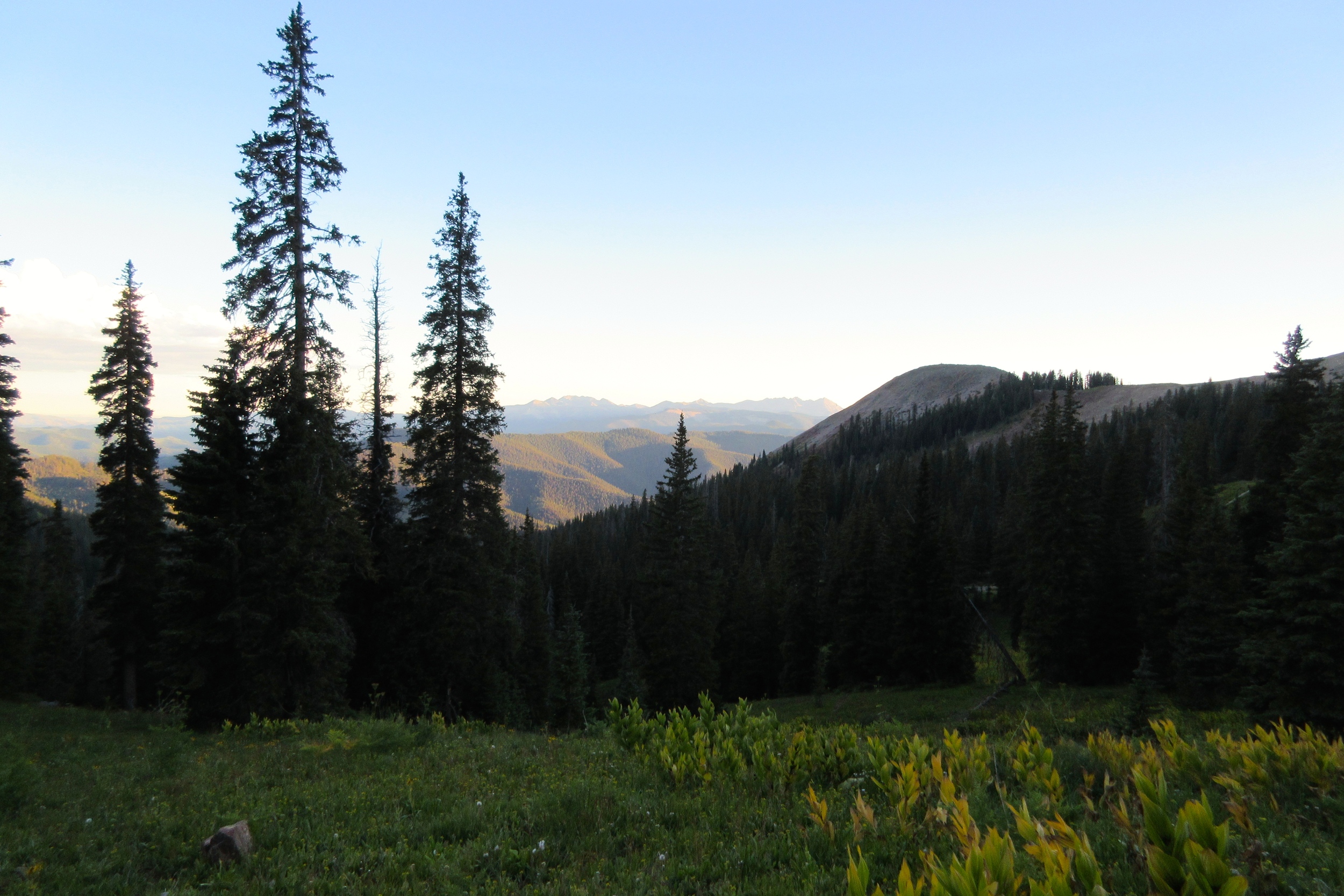

Scrambling through a pile of rubble at 12,000 feet, struggling to push my heavy, loaded bike up another in a string of not-even-close-to-rideable hills, deafened by the crunching and clinking sounds of loose shards of rock, blinded to the incredible scenery by a mind befogged with altitude sickness migraine, and by 2pm only nine miles into a day that we'd hoped to go 66, I finally began to truly understand that the Colorado Trail was going to be hard.
The Colorado Trail
Conceived in 1974 and connected in 1987, the Colorado Trail is an improbable, 486-mile through-hiking trail that traverses the state from Durango to Denver, crossing eight mountain ranges, and staying above 10,000ft most of the time. Unlike the Pacific Crest Trail or the Appalachian Trail, you can ride the Colorado Trail on a bicycle.
Mostly.
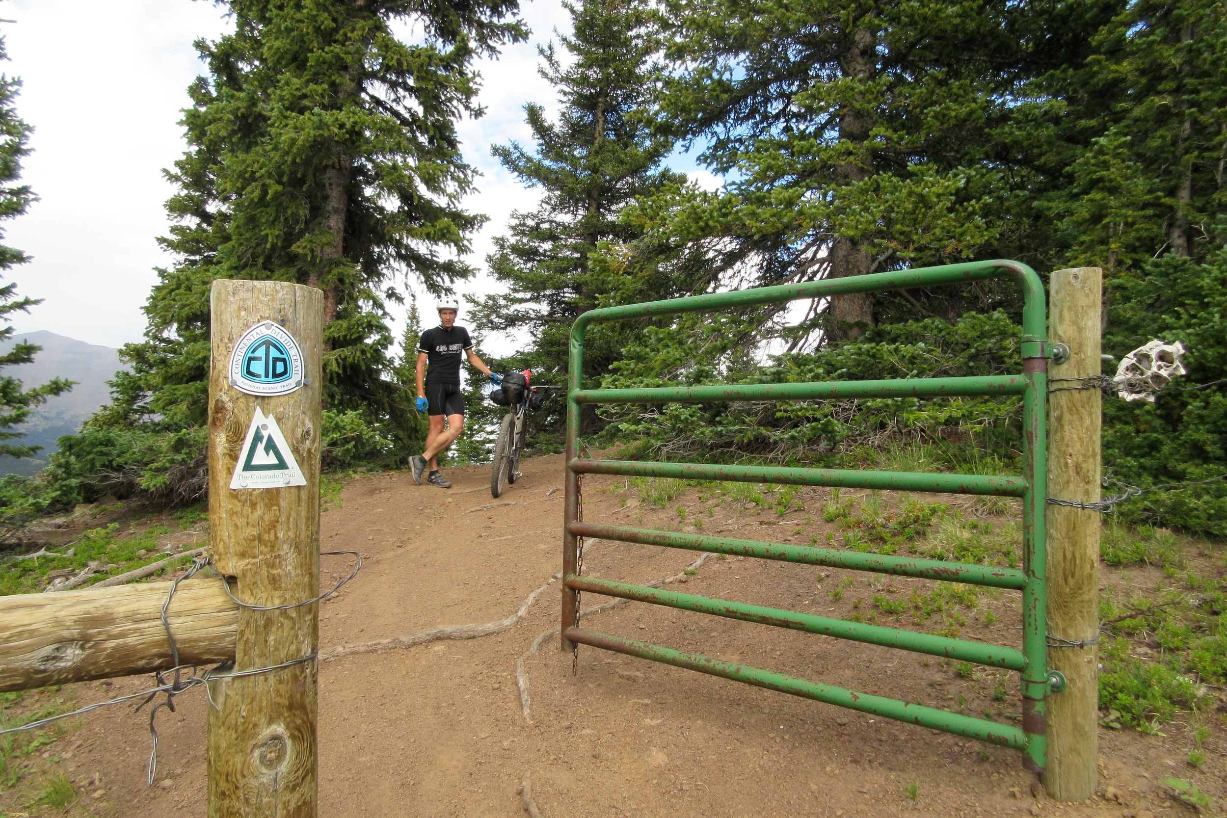
Bikes aren't allowed in the National Wilderness Areas, so the bike route does five sorta-long dirt-and-paved road detours that increase the mileage to over 535 miles. Believe me, though, riding 50 or 60 miles of road at 13mph seems like taking a magic carpet ride after going 3mph up and down talus slopes above tree line.
- 535 mile bike route, according to the Climbing Dreams website (probably more with the new Lost Creek Wilderness detour)
- 70,000 feet of climbing (probably a bit more with the new, longer detour)
- 13,271 foot high point in the San Juan Mountains
- 10,300 foot average elevation (this is the trail average. The bike route average is probably a couple hundred feet lower)
- Tons of water (at least this year)
- Very little food between Buena Vista and Durango
- Jah only knows how the through-hikers get food as they don't go through any town for about three weeks
Our Posse

"are we doing the 'look down' thing?"
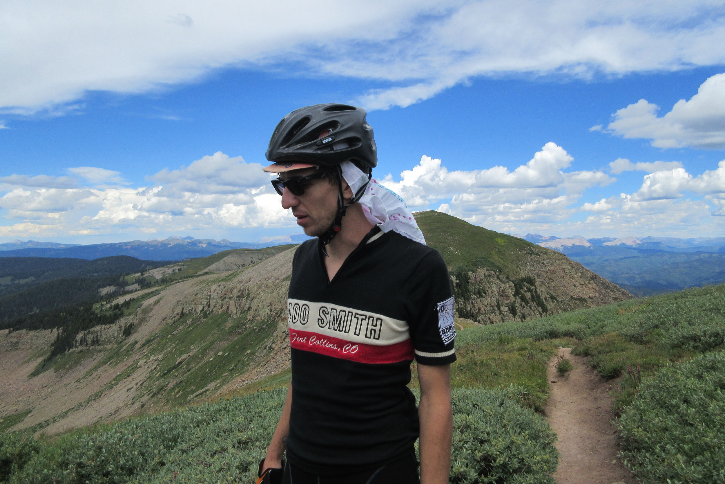
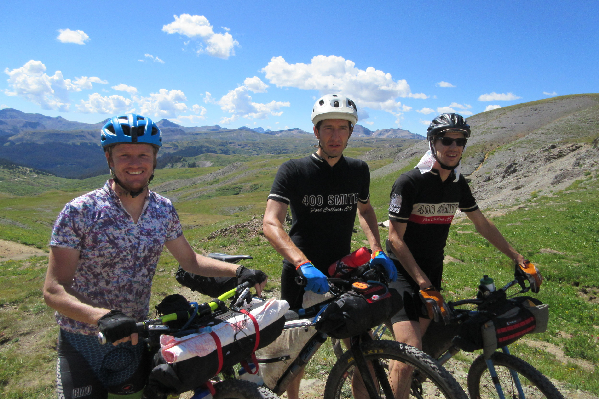
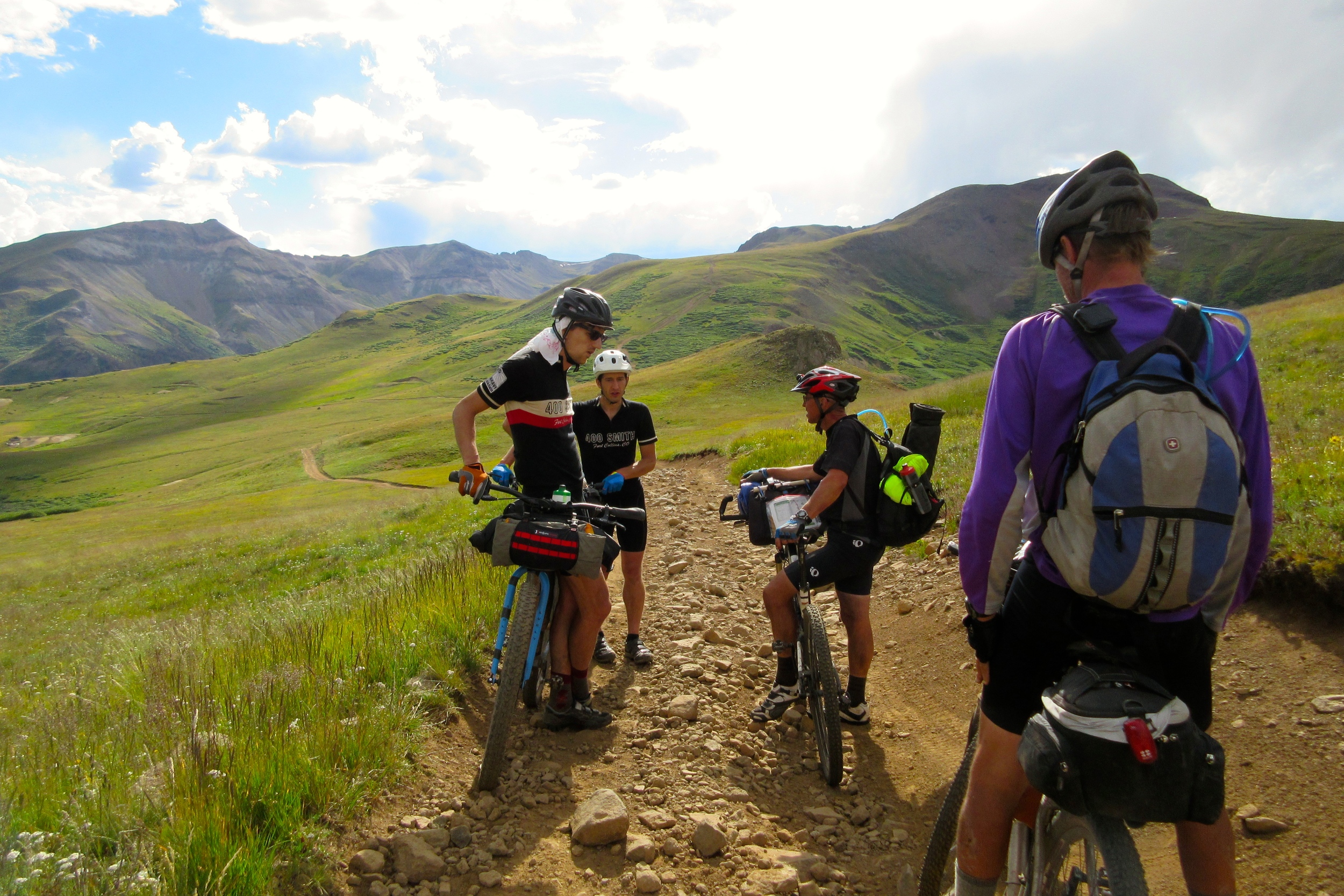
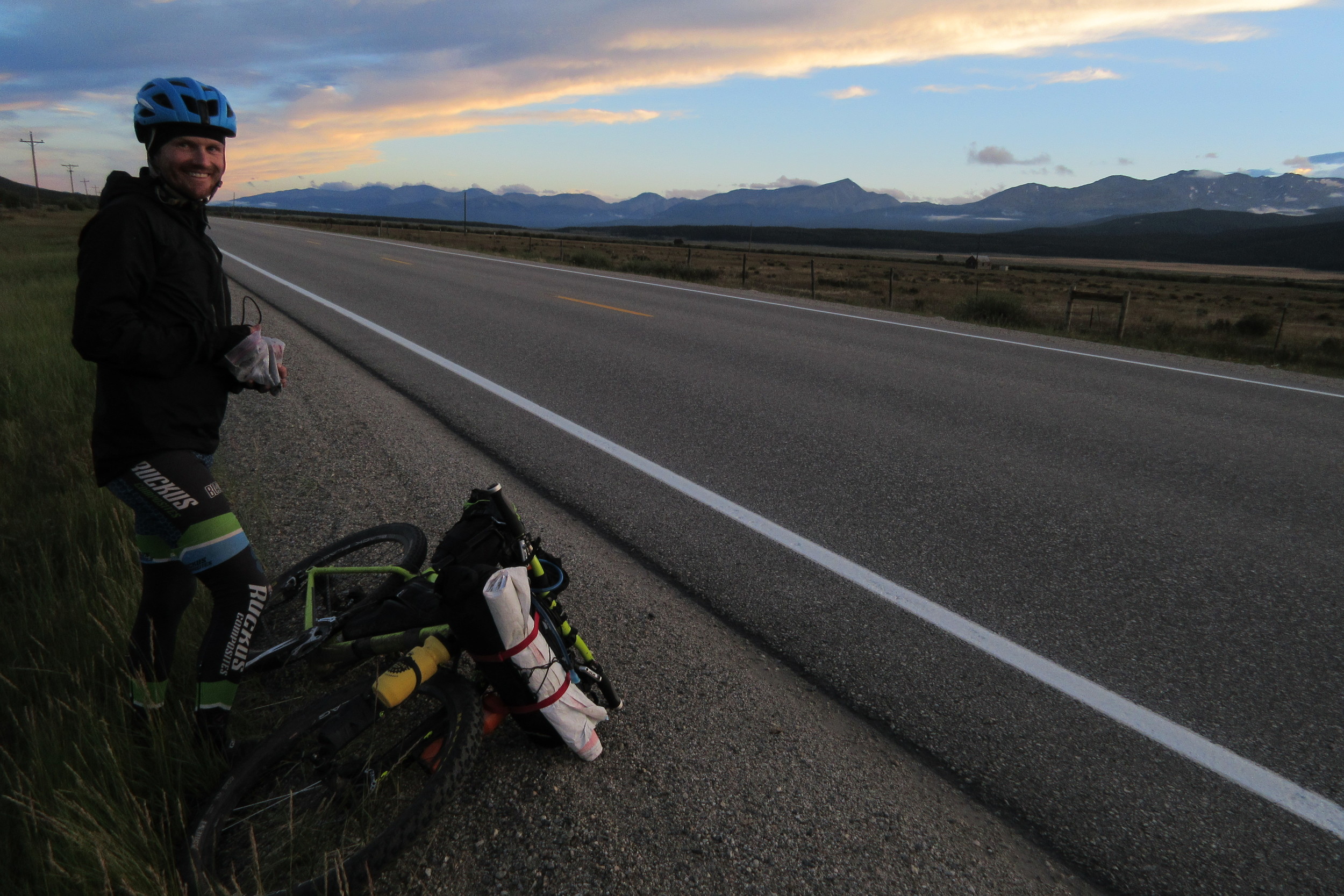
Our crew consisted of three former Fort Collins, CO roommates: myself, raised in Colorado Springs, but currently residing at about 50 feet above sea level in Portland, OR; Josh Agenbroad, who recently moved down from the mountains of Carbondale, CO to Boulder; and Dan Lionberg of Fort Collins, CO, our strongest and most experienced member, having ridden the Colorado Trail Race two years before, crushing the course in under five days on a single speed.
I pored over the databook on the plane to Denver and created a schedule that would get us from Durango to Denver in nine days. It all seemed perfectly reasonable by the numbers with some days that would be challenging with over 10,000 feet of climbing and 50-60 miles of trail, but nothing I hadn't done before.
When I showed Dan my schedule, he basically said, "weeeeellllll...... we probably won't be able to make it 66 miles from Junction Creek to Silverton in one day."
How painfully correct he would be..
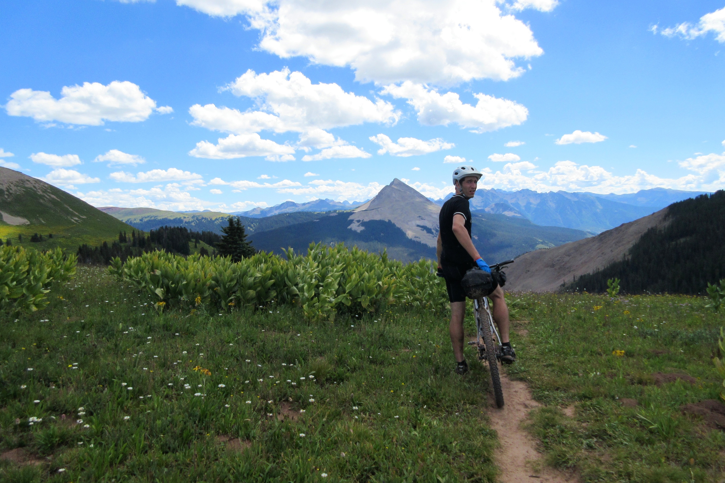
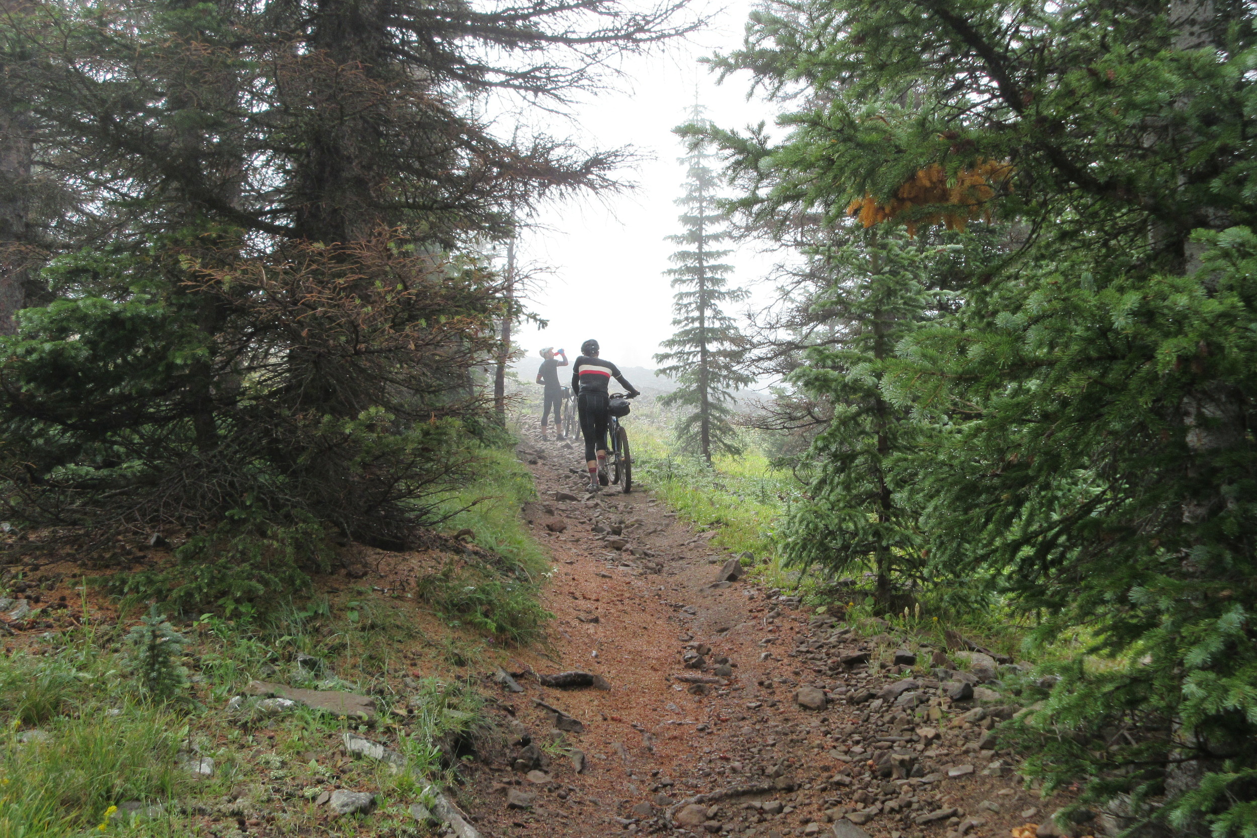
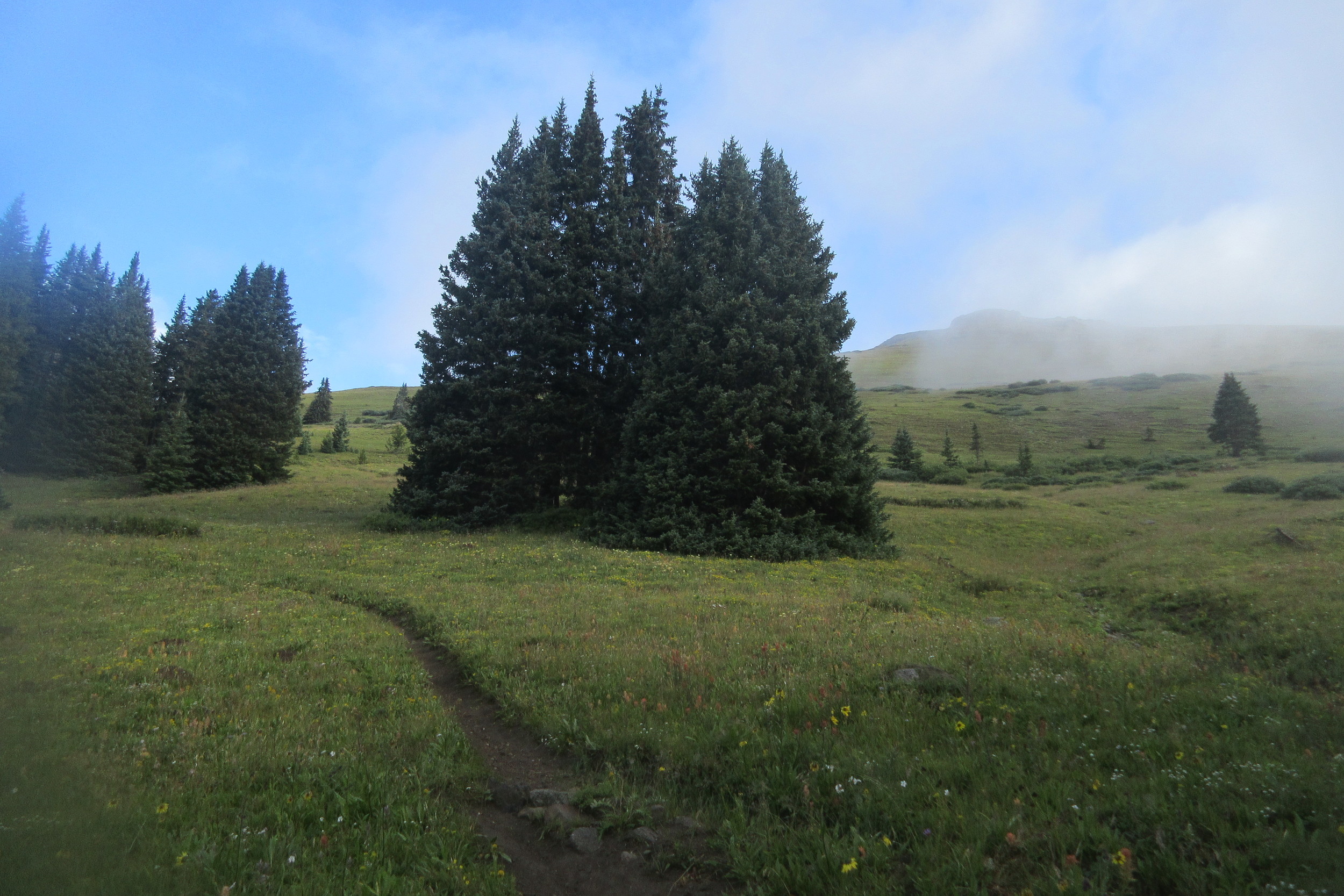
Our Ride

our route
DAY 1
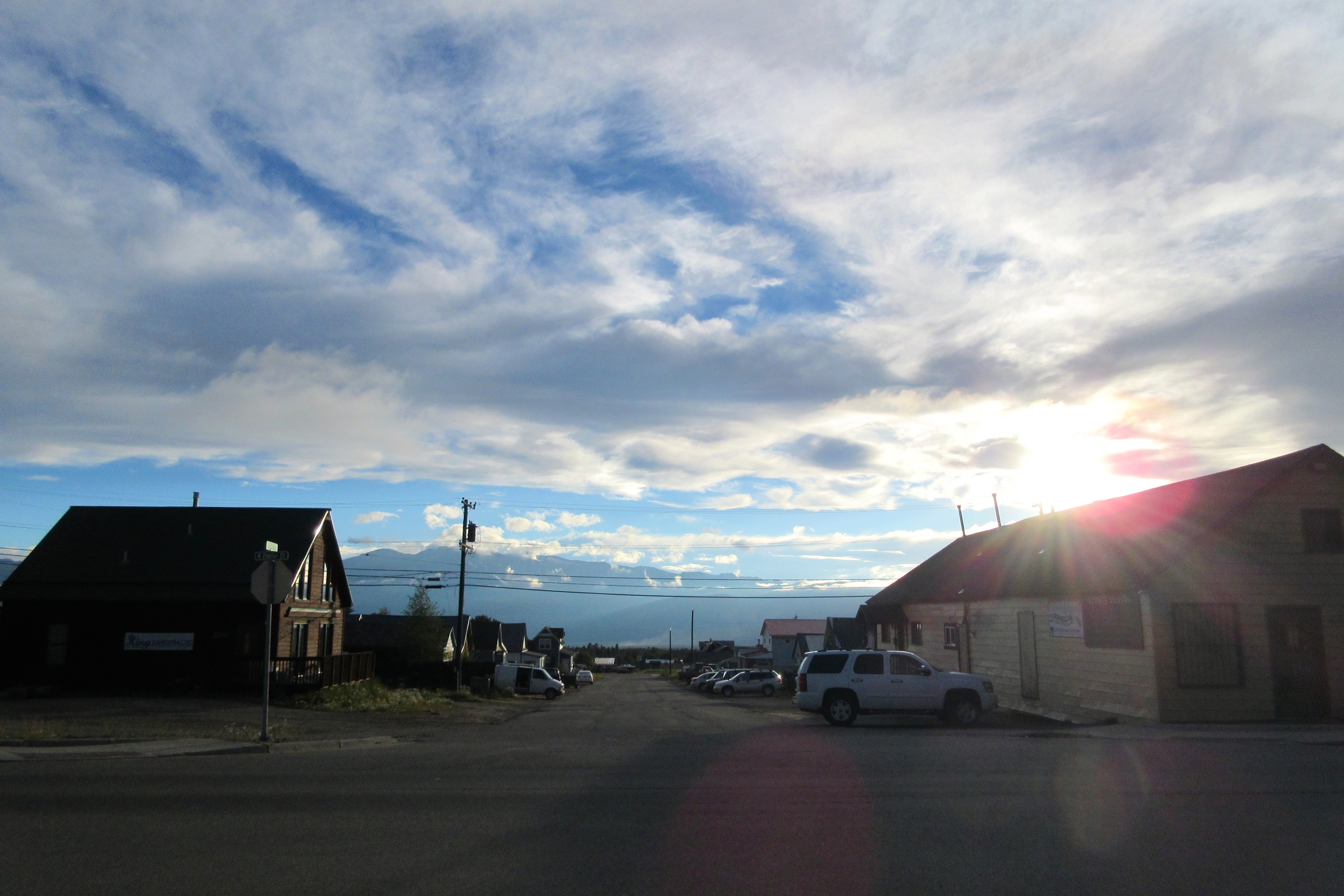
We had to start a day later than planned because of our ride situation falling apart, but I was happy to have one extra night acclimating at only 5,500 feet. On Saturday, we drove across the beautiful state of Colorado, from Boulder to Durango, in a rental Buick Enclave. Gas wasn't cheap, but the AC was effective and we had absolutely no trouble getting our three bikes and gear into the car.
By the time we got the car dropped off (turns out Durango's Avis is 15 miles from town at the airport), got our final groceries, assembled our bikes, and pedaled to the trailhead, it was 8:30pm and the sun had set. Oh well, we rode three hours into the night and got to our scheduled campsite along Junction Creek without much incident, apart from a couple minor crashes while learning how the hell to ride these klunky behemoths on technical uphills with the bar and seat bags swinging all over the place. We enjoyed boil-in-bag dinners and gave ourselves a hearty pat on the back for riding 14 of 535 miles in only three hours. At that pace, we'd be able to get to Silverton in only 14 hours the next day! No problem, right?
DAY 2
The first problem on day two is that we didn't start 'til 10am. The next problem was the 4,000 foot climb to Indian Ridge.
"What time is it?"
"1:00"
"How far have we gone?"
"Six miles"
This would be the theme of most of the days before Salida. We'd spend most of the day getting about 1/3 of the distance we planned, then we'd miraculously make it all the rest of the way from 4-8pm as we descended toward the next road crossing.
No miracles on day two, though, and we fell about 35 miles short of our goal of getting to Silverton (we rode 31 of 66 miles).
We'd been revising our goals all day long, each seeming feasible for an hour or two, then being proved totally unrealistic once we looked at the mileage we'd completed in the meantime.
Finally Josh put his foot down.
"I can't go any further!"
Josh had cracked, but since it was all walking and coasting anyway, he was still going faster than me.
"Seriously. I'm done."
We hiked the half mile to the next campsite (taken by the ubiquitous "asleep before sunset" through-hikers), before bushwacking a nice campsite a few hundred feet off the trail at 11,500 feet of elevation.
I'd had a headache all day and I had a headache all night, waking up about 15 times to drink water, pee, drink water, thrash around, and take more Advil.
DAY 3
I fully expected to awake to more serious altitude sickness, but it was just the same old headache which was actually cured briefly by some Sudafed Dan pulled out of his first aid kit.
We pushed over the 12,000 foot pass we'd been sleeping under and actually made ok time for awhile since we never went below 11,000 feet and thus never had to climb back out.
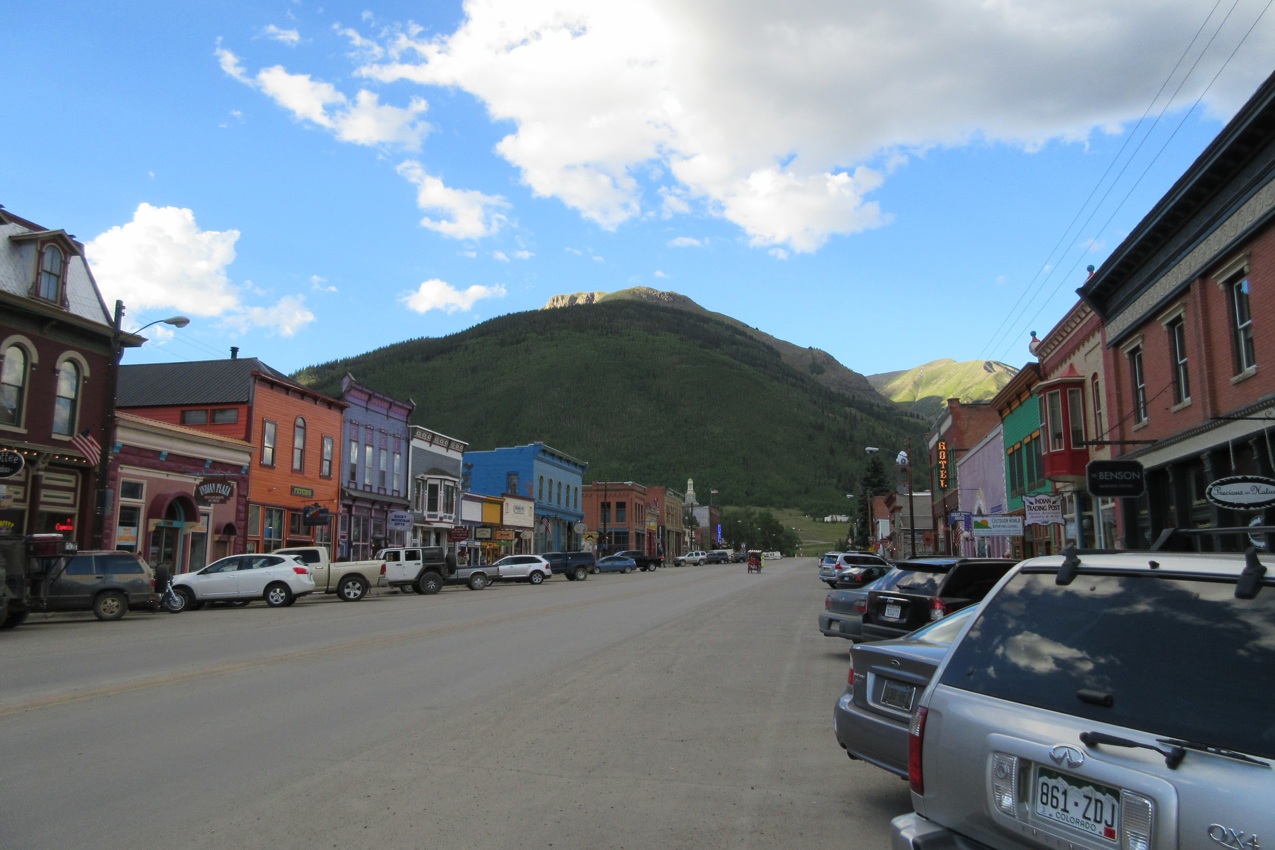
Day three seemed hard when it was happening, but I can't really remember exactly why. Oh wait, I remember now: the excruciating headache! We pushed over a few alpine passes, coasted down, tapered along a big valley, and eventually went more downhill that uphill - even hitting some really good single track shortly before Molas Pass. We made it to the road and detour #1 at about 4:30pm. We'd done about 30 miles all day. We rode the next six into Silverton in about ten minutes.
By this point, we'd decided we needed to ship a bunch of stuff home. We needed food. We were tired. I was sick of having a never-ending headache. It was Sunday evening and the thought of starting up a 3,000 foot climb to a land where everything was above 12,000 feet for 30 miles seemed unbearable.
WE NEEDED TO STAY IN SILVERTON!
Which we did. We got a hotel, went to a bar with incredible burgers, looked at photos, washed our chamoises and arranged to have nearly 10lb of crap shipped back.

HOOOWEEE, the big city!

Send it back!
DAY 4
We set our alarms early(ish), and got our stuff semi-organized for a quick exit, but we still didn't hit the road until just after 8am. Sleeping in a bed at low altitude (9,300ft) did me wonders and I was very optimistic about our chances of finishing our longest (44 miles), highest (over 13,000ft several times), hardest (more than 10,000 feet of climbing) day so far!
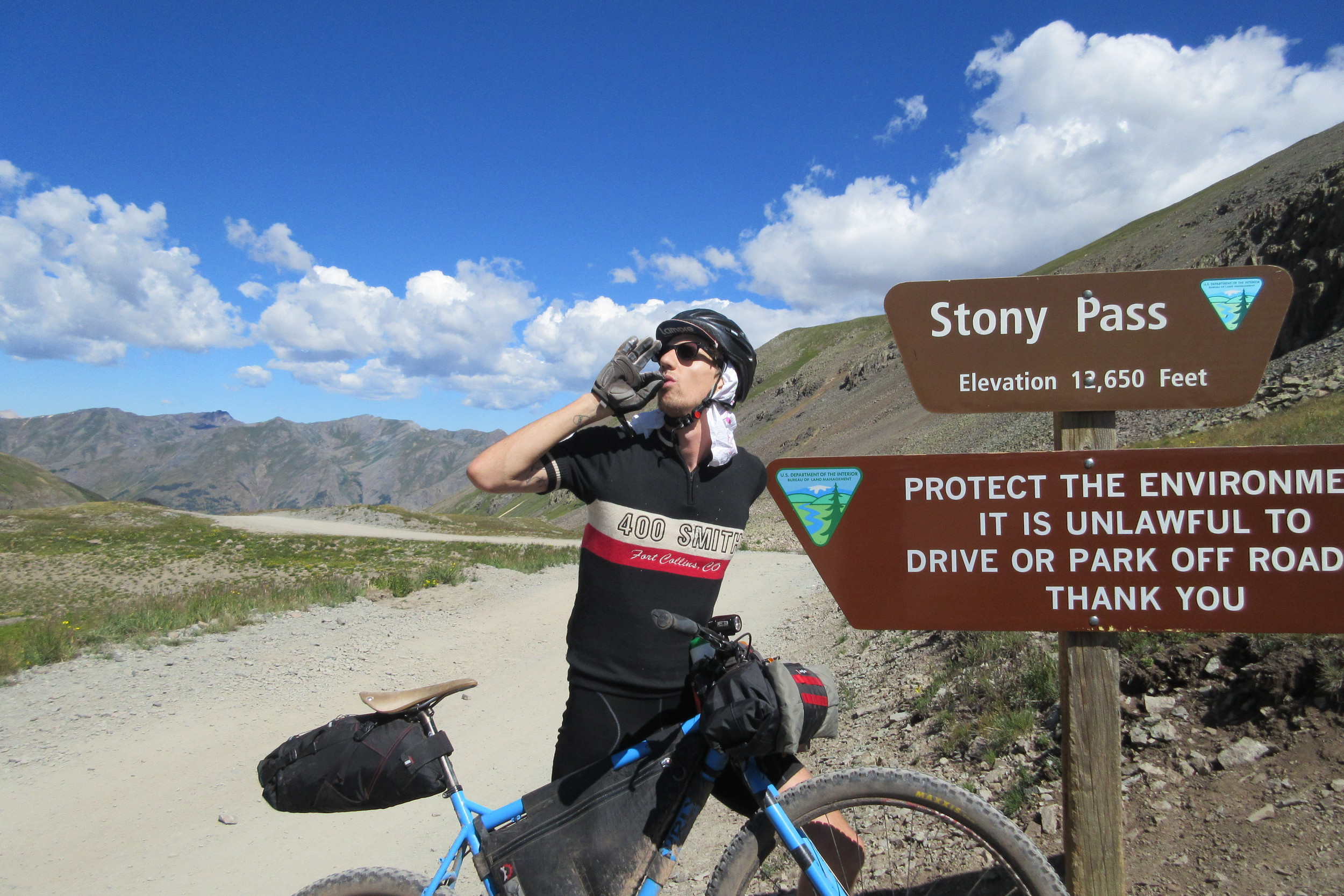
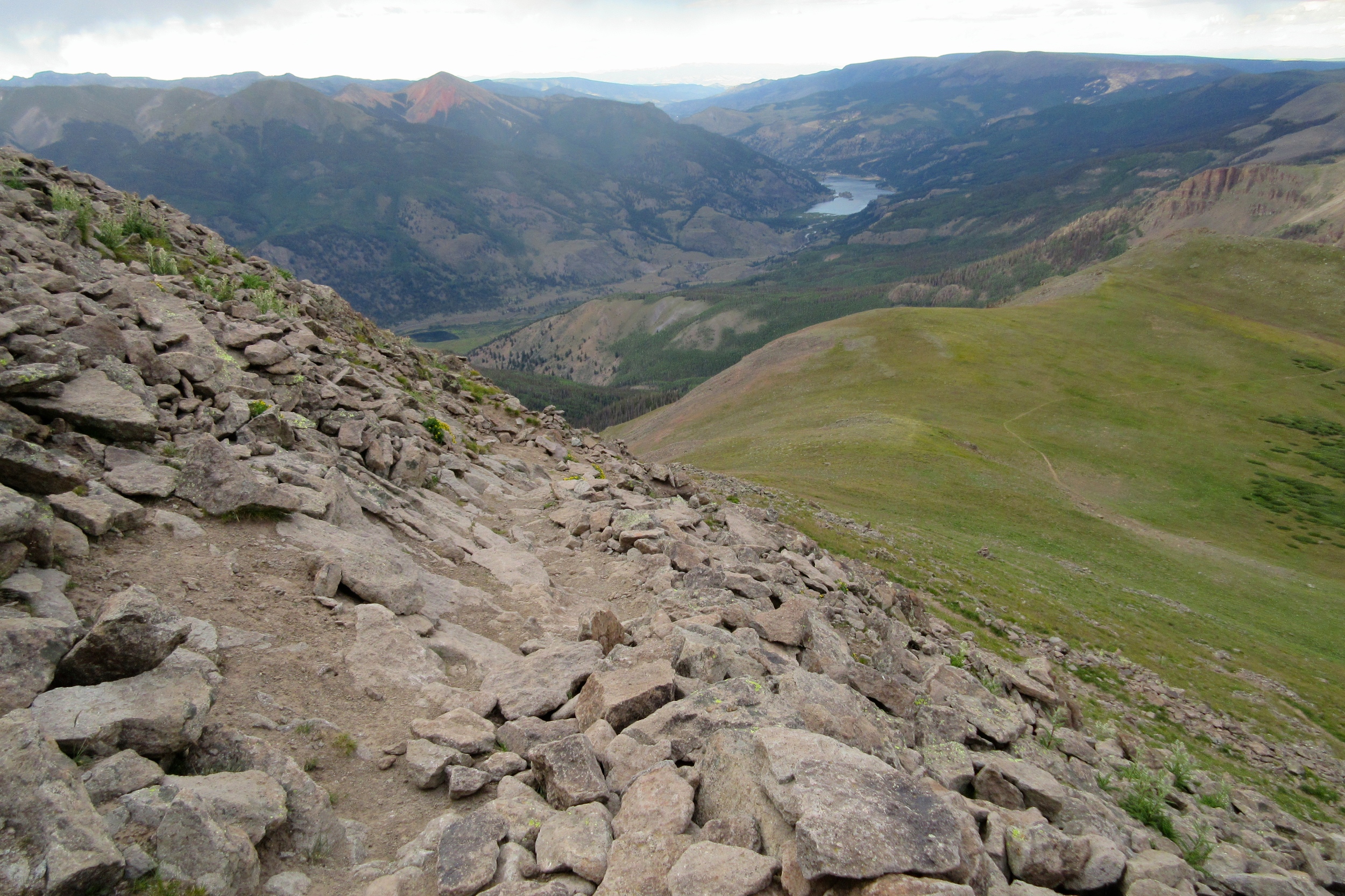
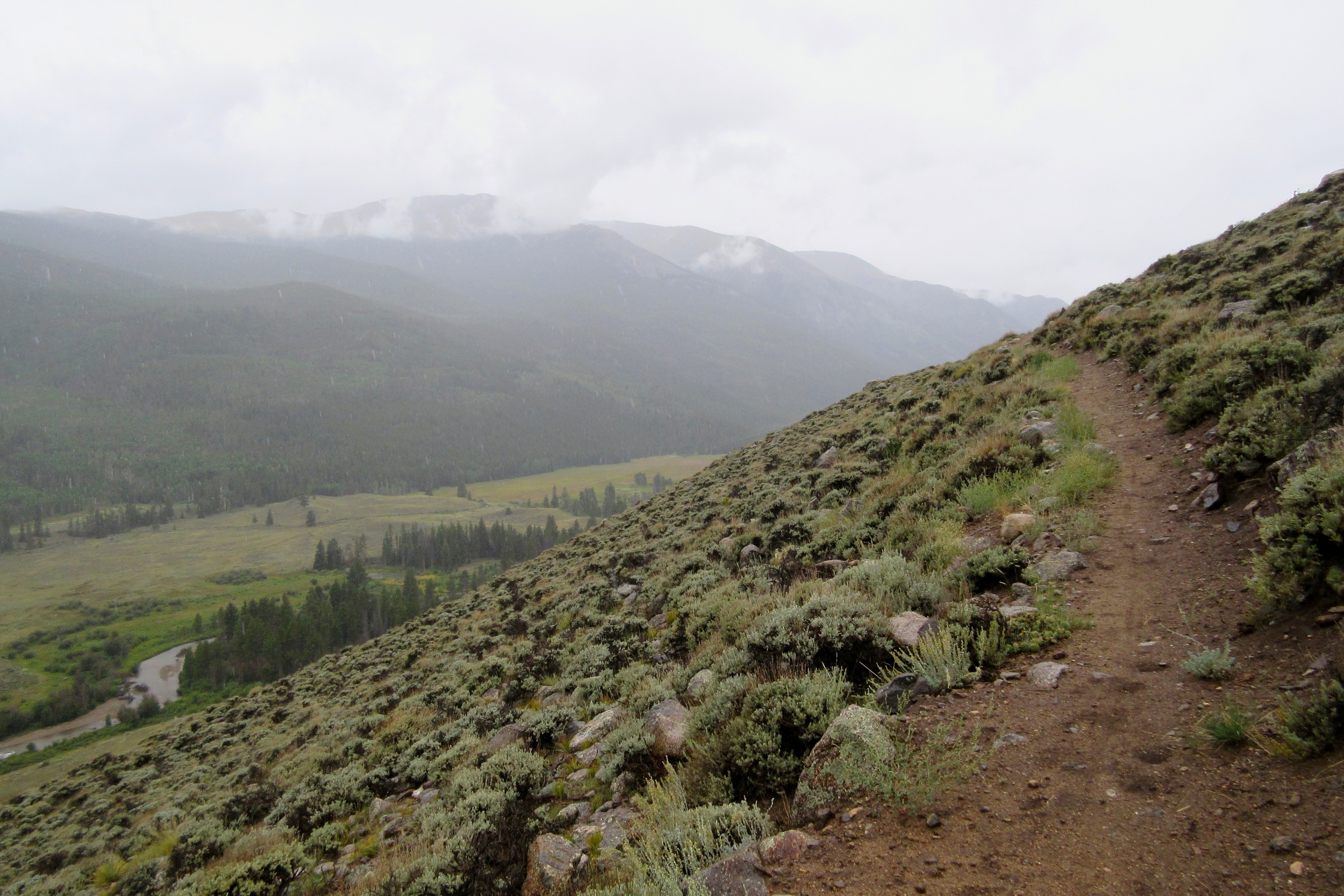
The ride started with a 3,000 foot climb out of the Animas River valley to Stoney Pass, then pummeled us with a series of climbs to 13,000 feet, then descents back to 12,000. For 20 miles, we went up and down, scorching in the sun above tree line, coasting down to the next stream, filtering two bottles, then trudging up the next climb.
I learned that my headache (sort of a back-of-the-neck migraine) could be regulated and that as long as I didn't bend down or push too hard, I could stay below the threshold. This of course meant that I couldn't ride much of anything, as even 50 feet of pedaling hard up that high would make my head light, my headache pulse, and my lungs gasp to recover. But if I kept it under the limit, I could keep going just fine.
Ibuprofen, at this point, did next to nothing.
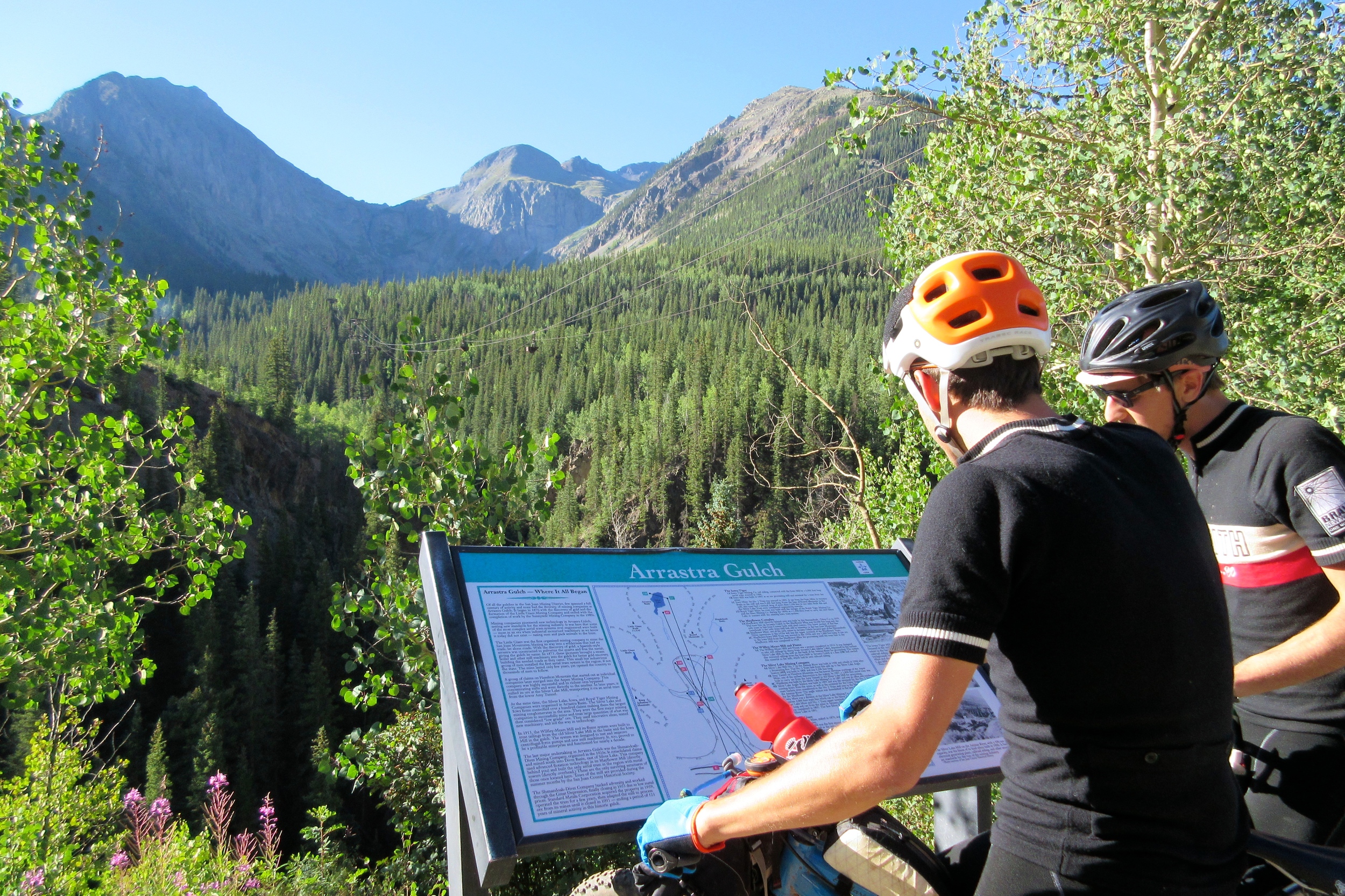
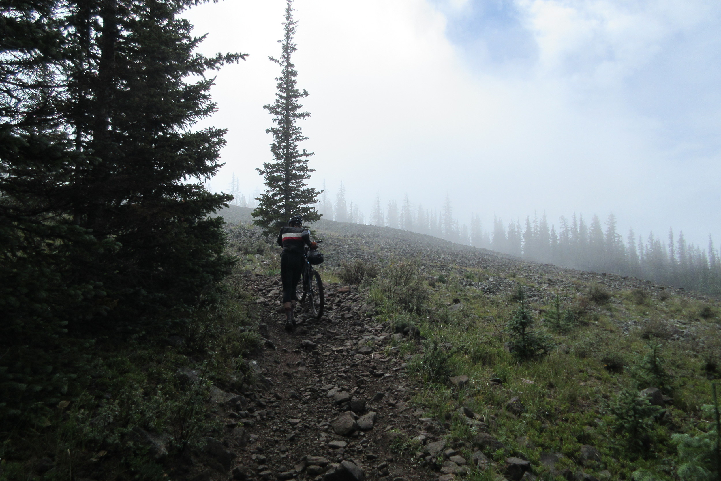
By late afternoon, we made it to the end of Segment 23 just in time to start the imposing jeep road climb to the trail's high point.
Dan assured us that we would go faster once we made it up to the ridge, but we didn't believe him. Everything was too hard. Nothing was possible. We were going nowhere. We'd never make it.
As we approached the top, the trail leveled off.
Did we dare get on our bikes and try riding them?
We were like those labrat animals in those repost vids where they get to walk on grass for the first time - too wounded by repression to believe in the sun-drenched reality all around us.
But there it was!
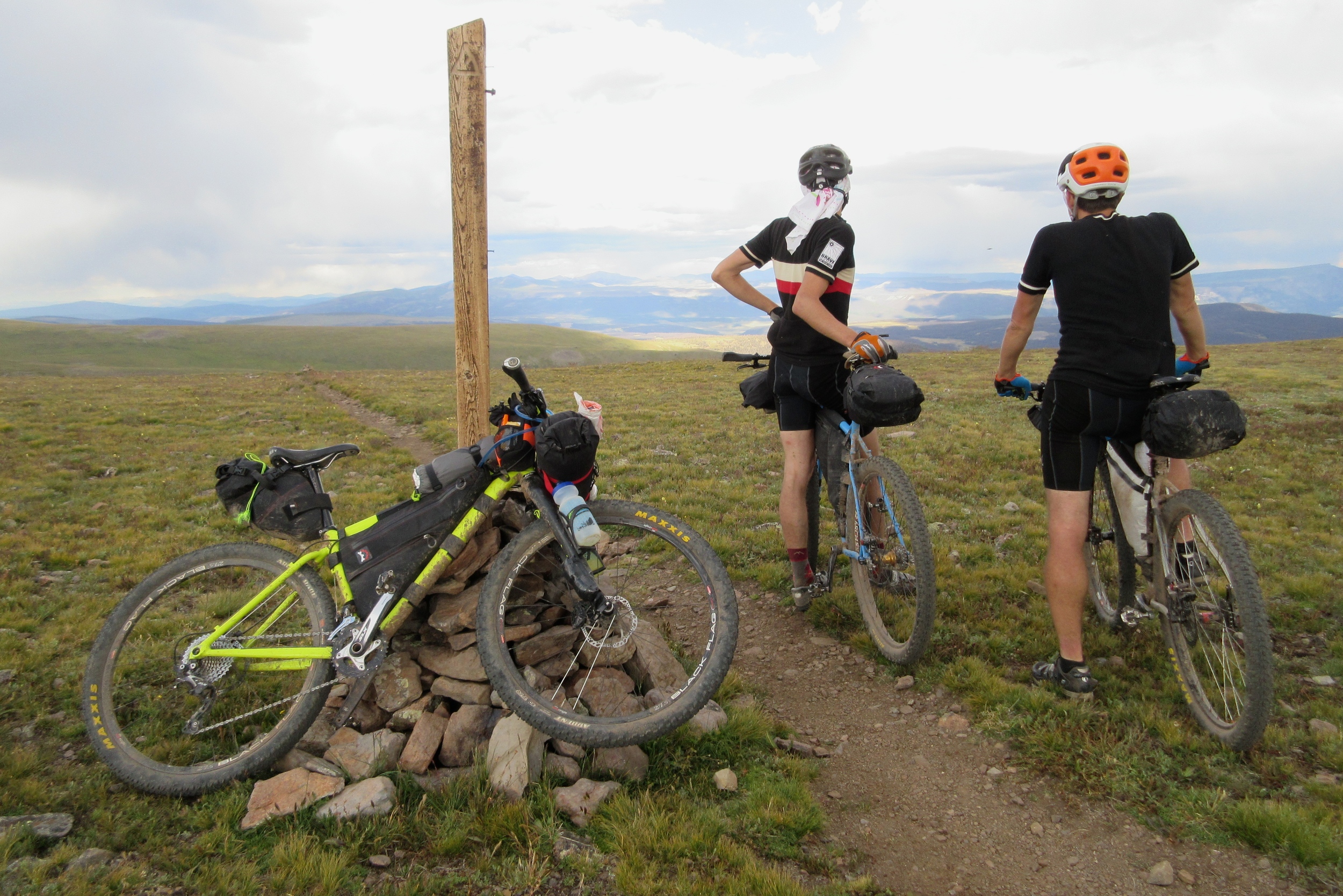
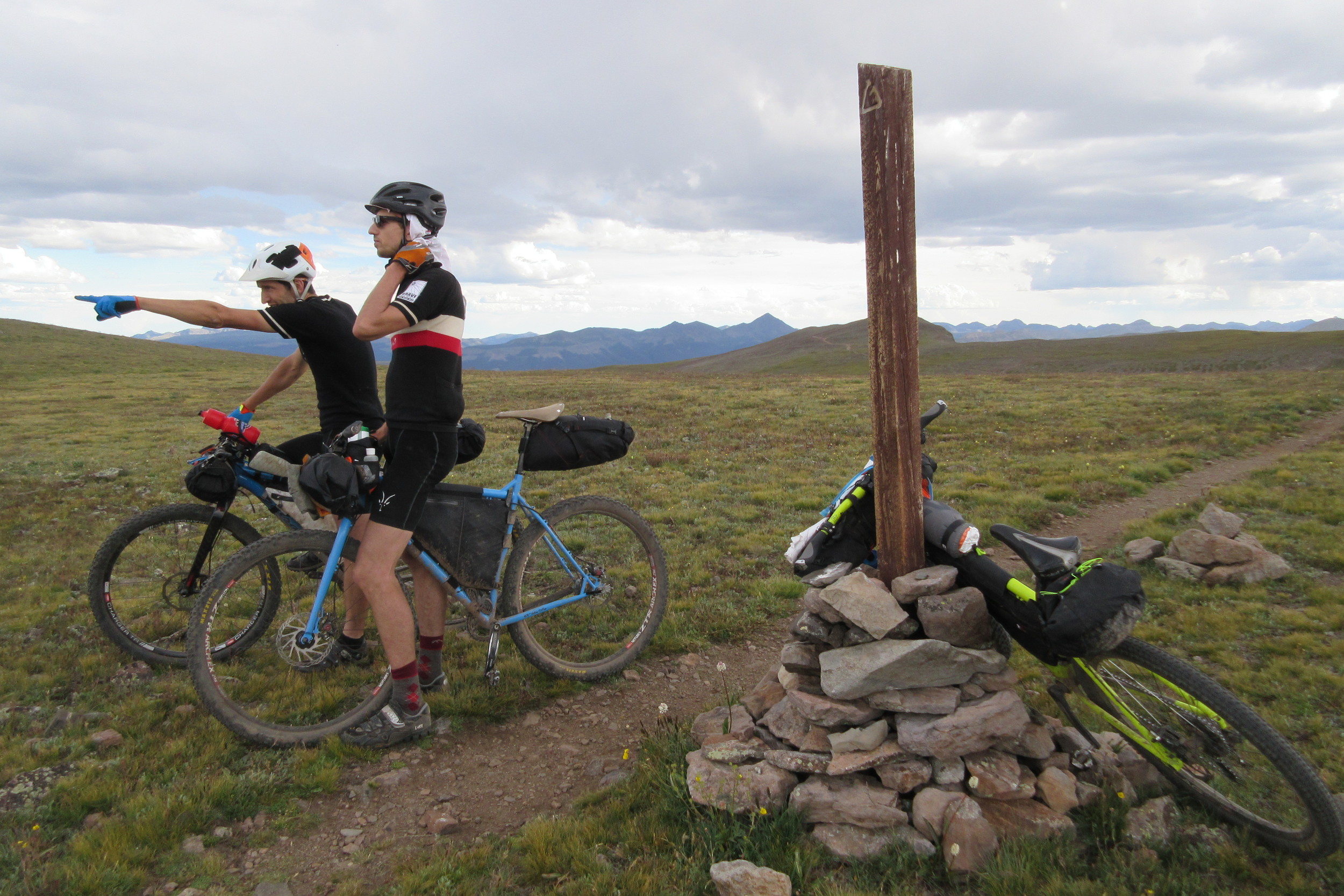
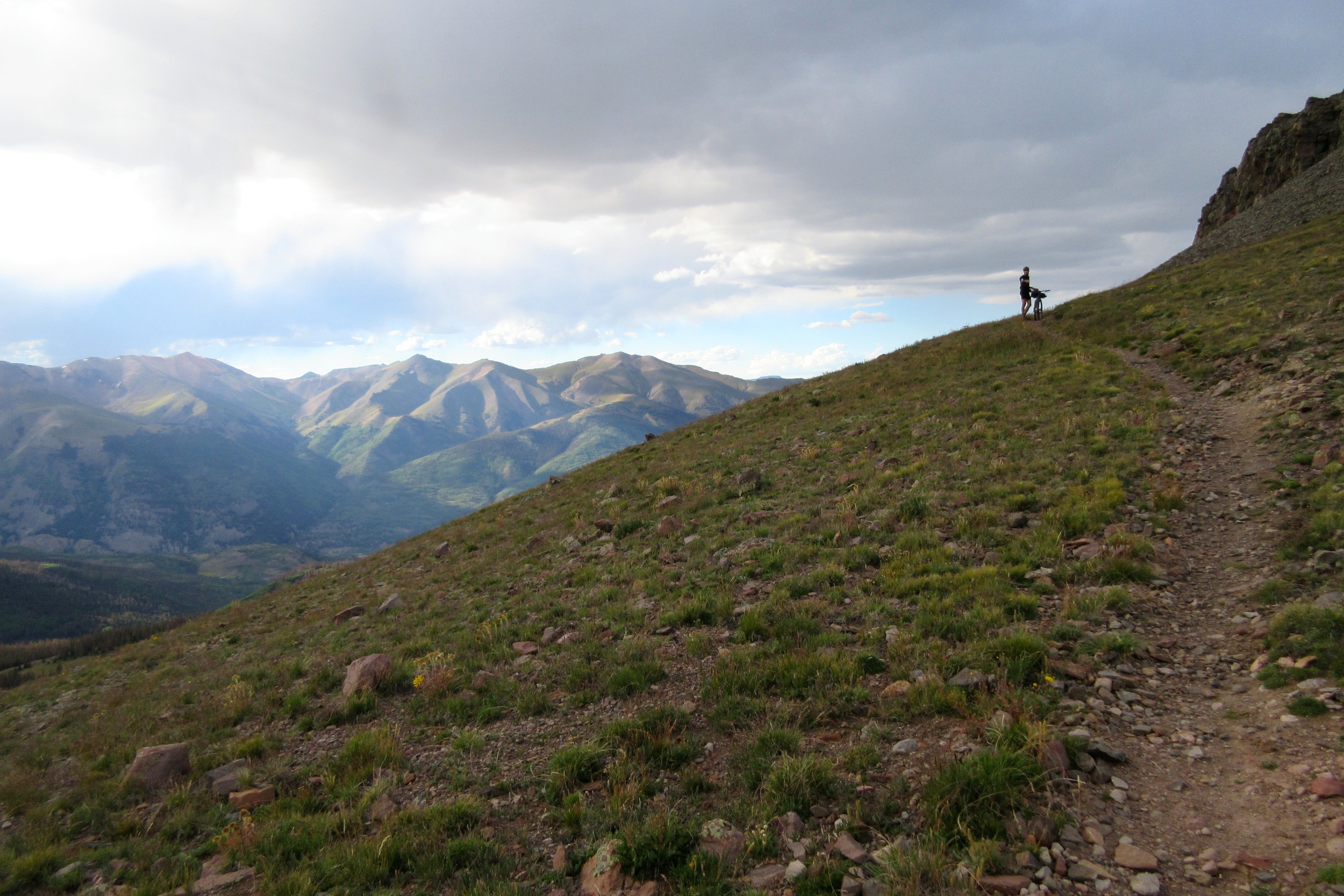
We mounted our bikes and rode all the way up to the high point, stopping briefly to take some pictures and behold the dramatic skies, threatening to thunderstorm all over us.
"OK, let's get the hell out of here," Josh probably said.
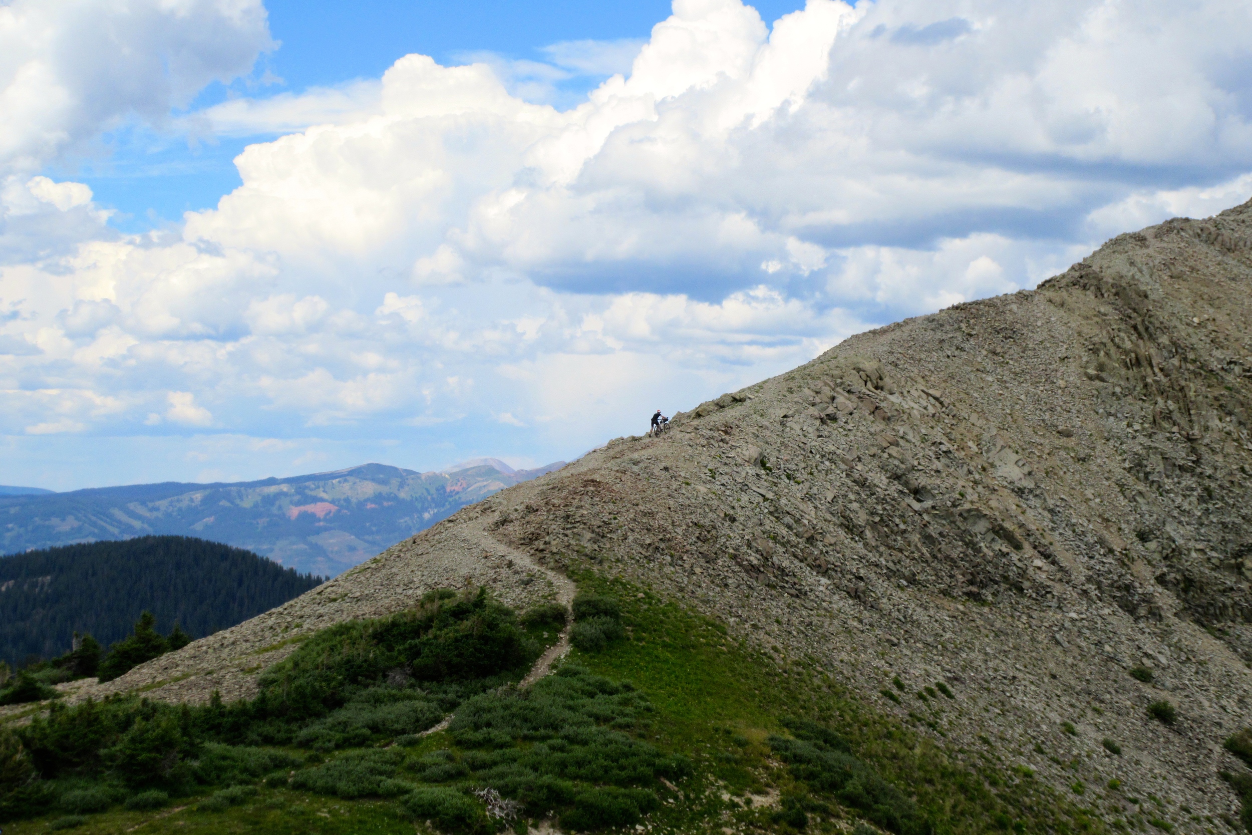
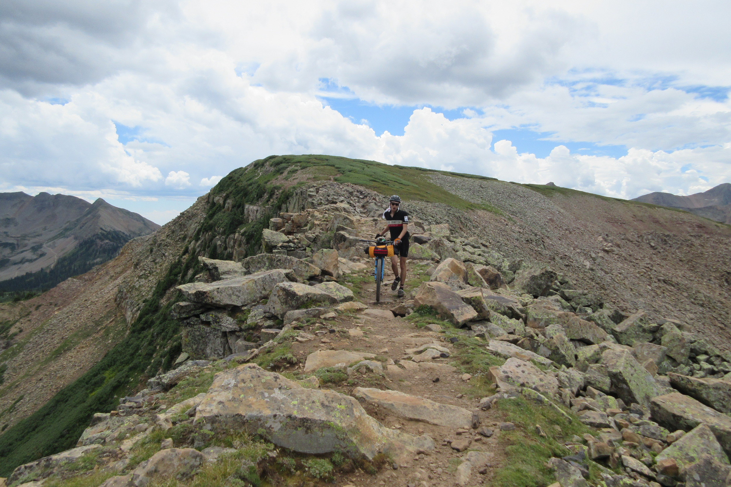
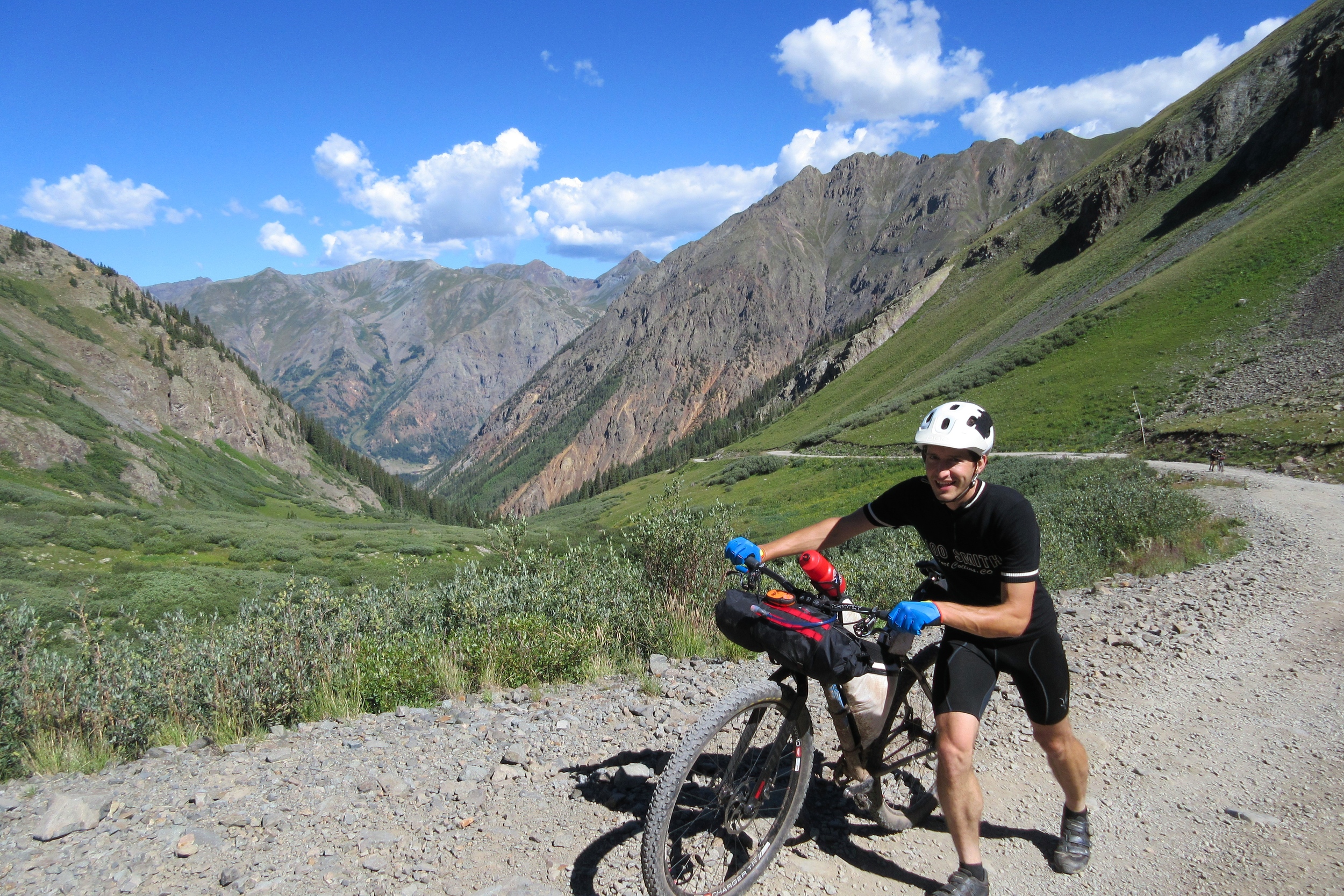
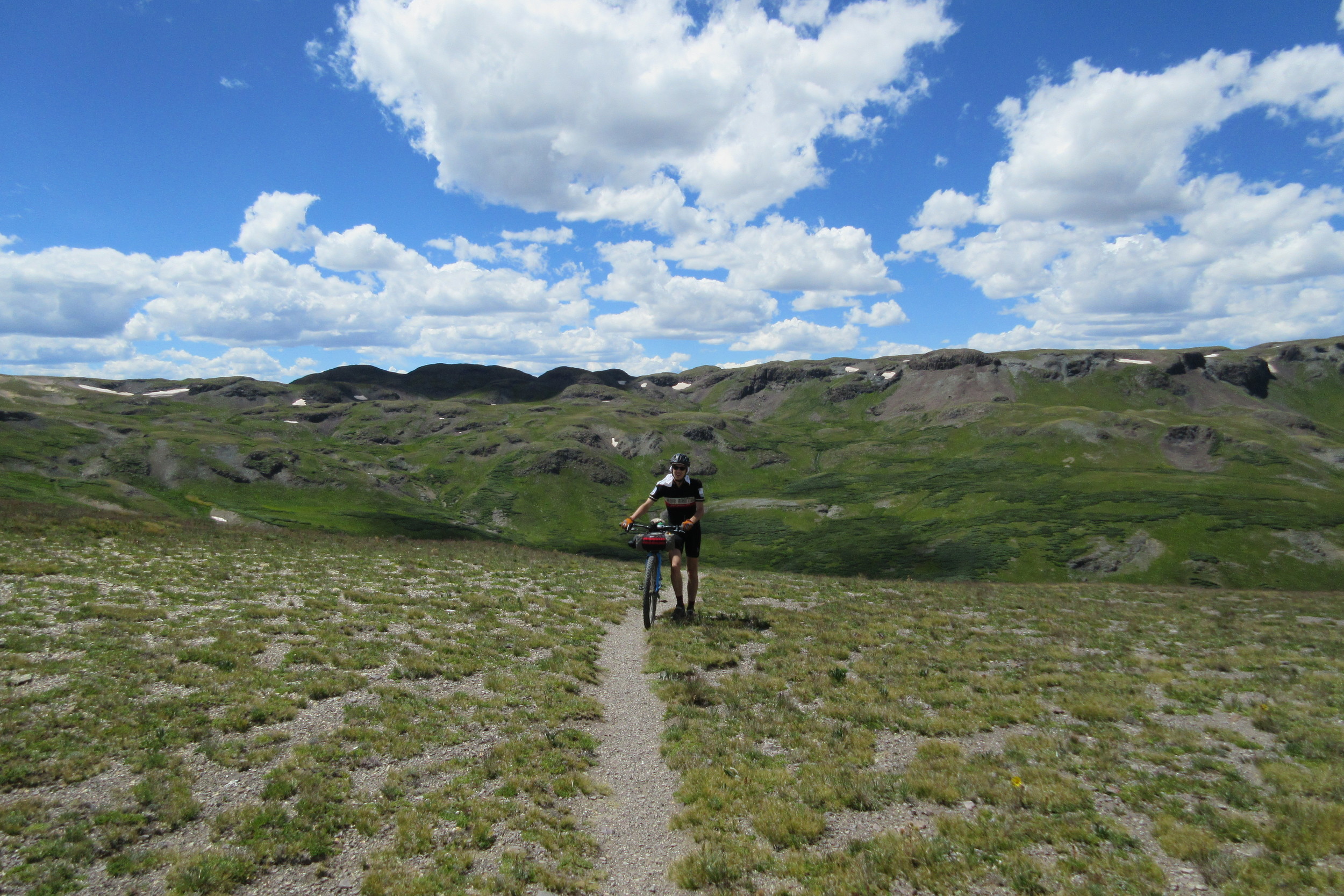
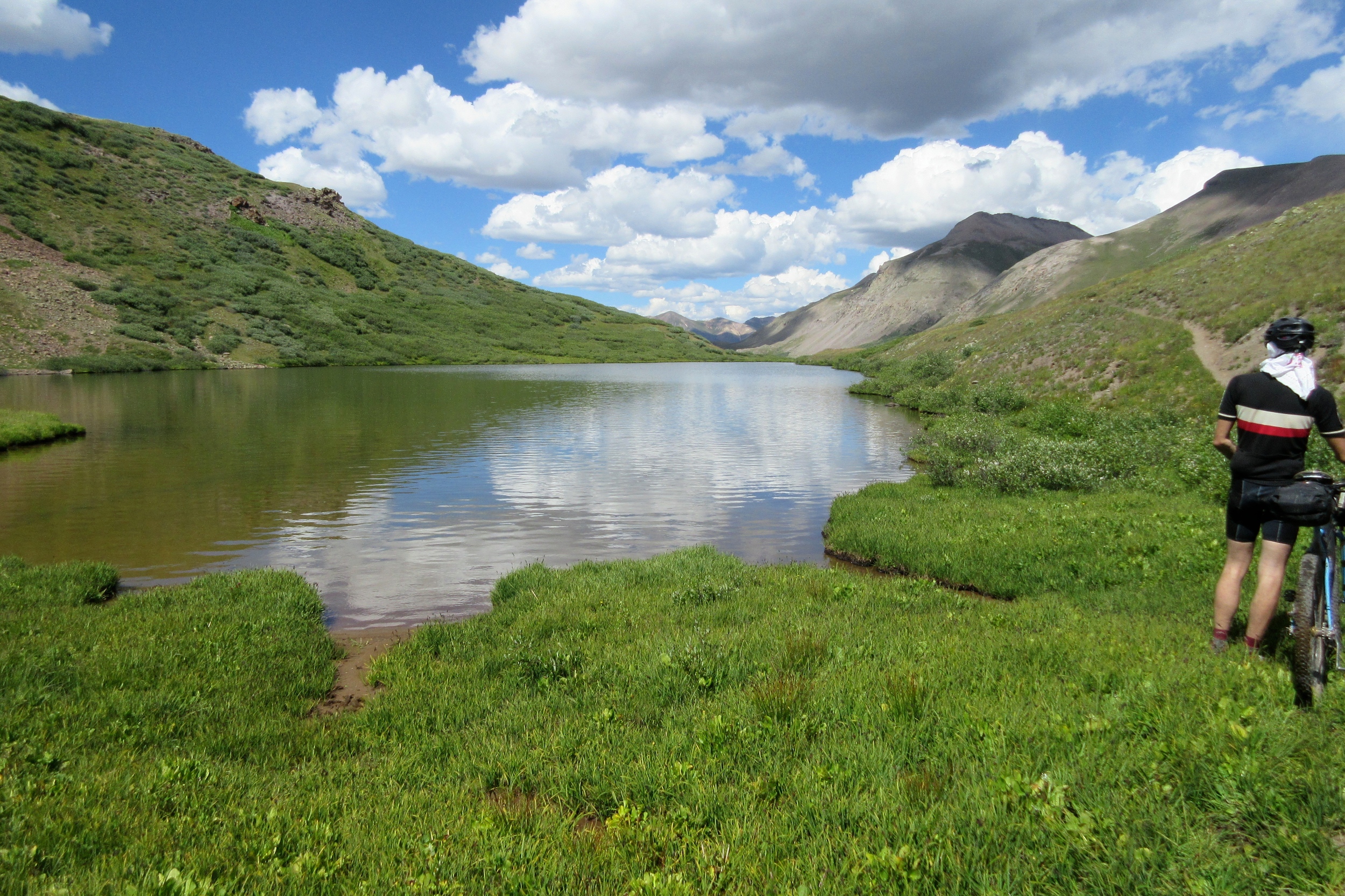
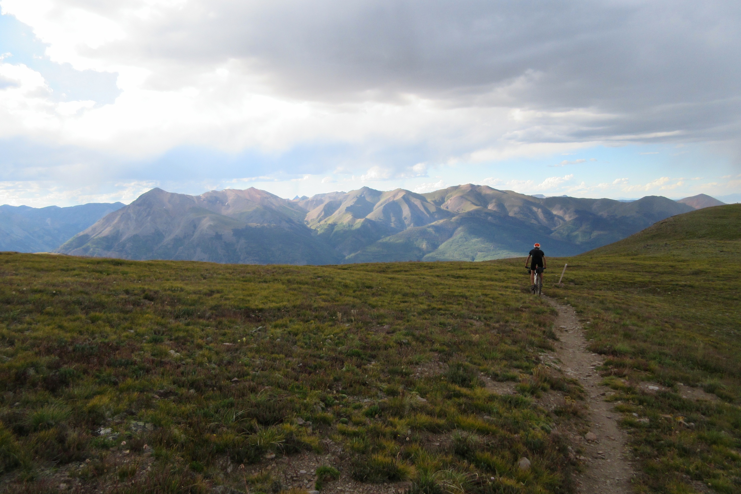
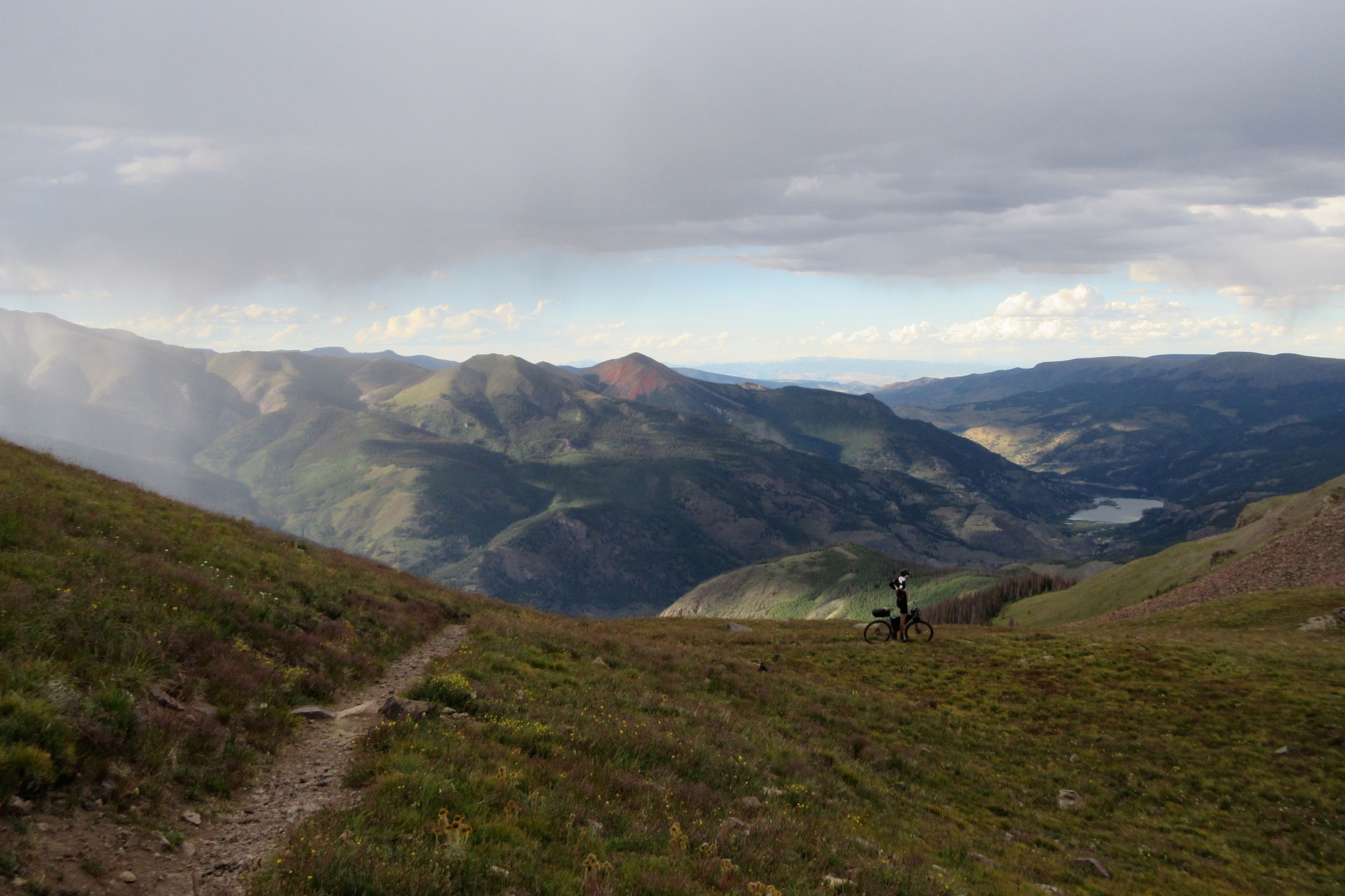
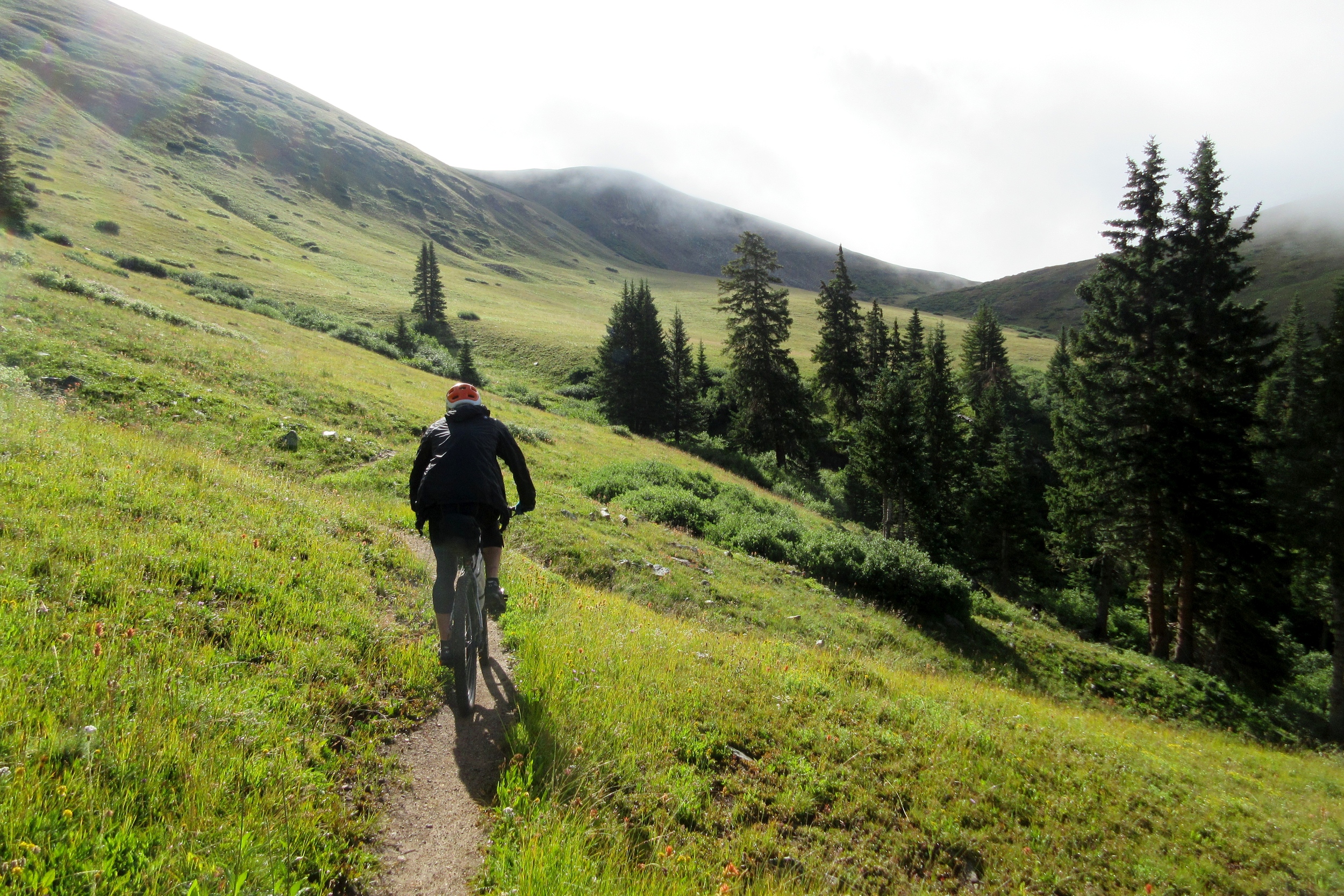
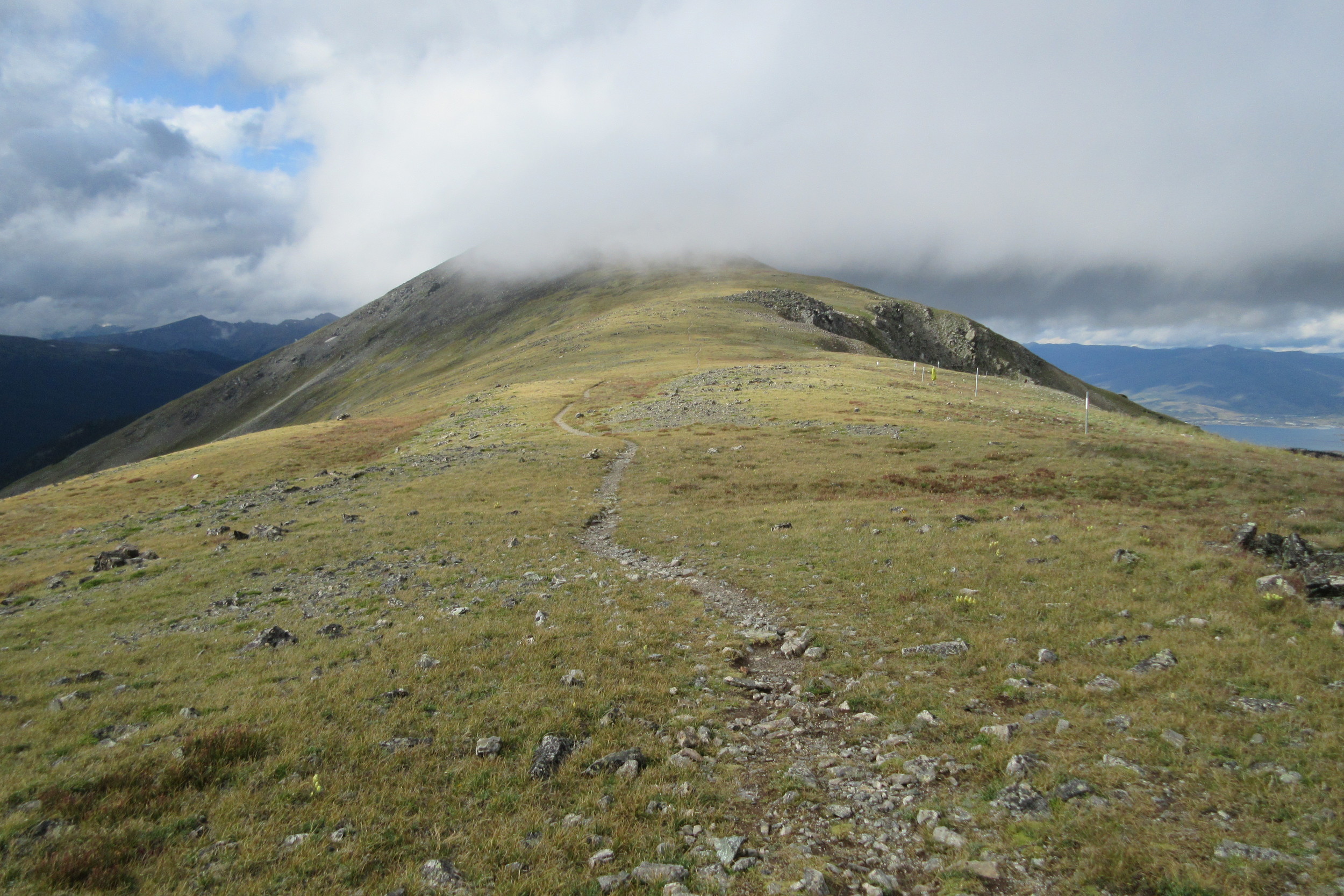
The next few miles were some of the best of the trip - though it was difficult to know that at the time. We were descending a ridgeline at over 13,000 feet in the middle of the San Juan mountains. There were 14ers in every direction, alpine lakes below, glaciers in nooks and crannies all around, dramatic skies, and magic hour light. If we managed to get the hell off this ridge before it started hailing or we got struck by lightning, we would have really accomplished something!

Eventually we made it back down to the trees at 11,500ft or so, then climbed "one last climb" (according to Dan) which was mostly rideable before we were homefree!
Then we rode into a 4-mile boulder field called Jarosa Mesa just as the twilight faded to dark.
Josh lost his shit.
"FUCK THESE ROCKS!"
Josh had also lost his light - the mount broke a bit earlier, so he had to ride the last couple miles of rock field (and I don't mean like loose rocks. I mean big rocks that are PLANTED into the ground like some kind of high-altitude Scottish moor) with his shitty camping headlamp with Dan and I attempting to shine some light on his path from ahead.
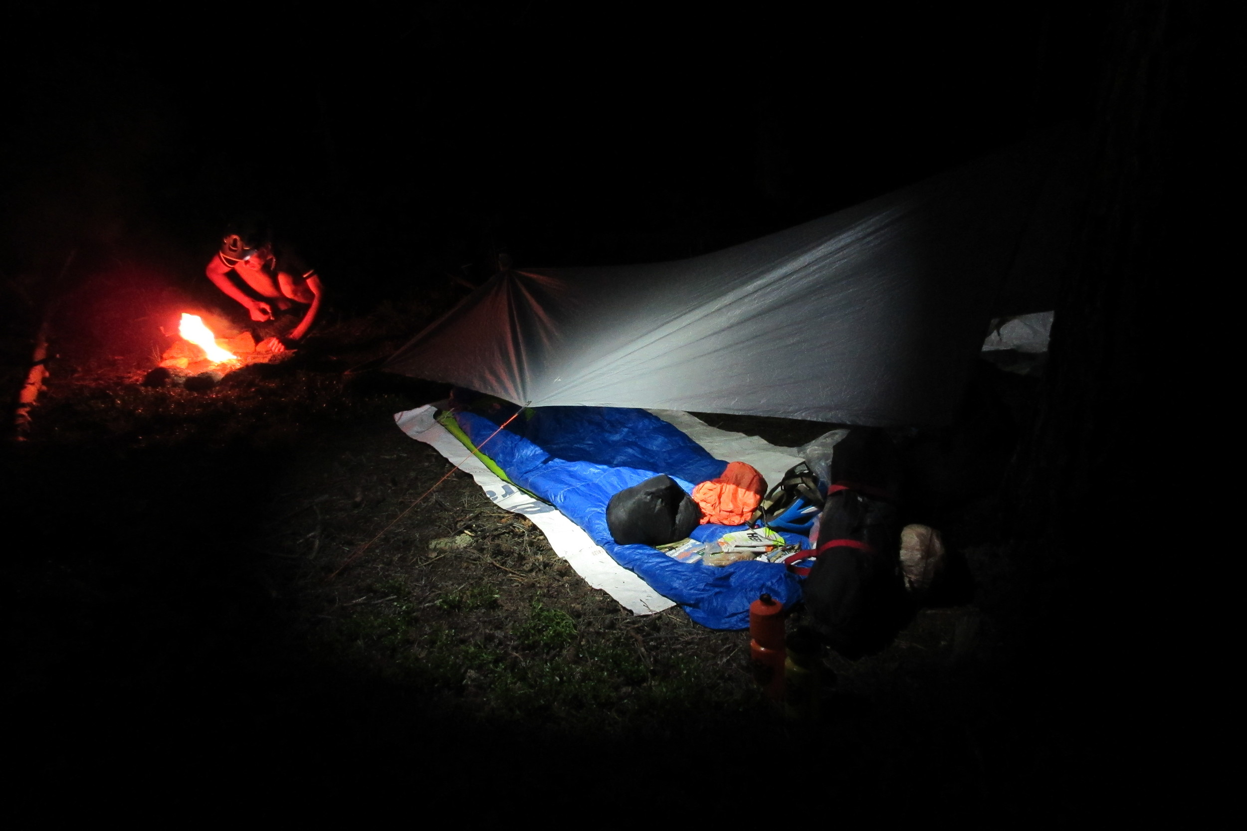
It was tense for awhile, but we made it to the (also kinda rocky) jeep road that descended the last two miles to camp at Spring Creek Pass.
It finally started raining just before we got to camp. I think we'd made some mistake with water earlier, so we all came in dry for the last hour or so.
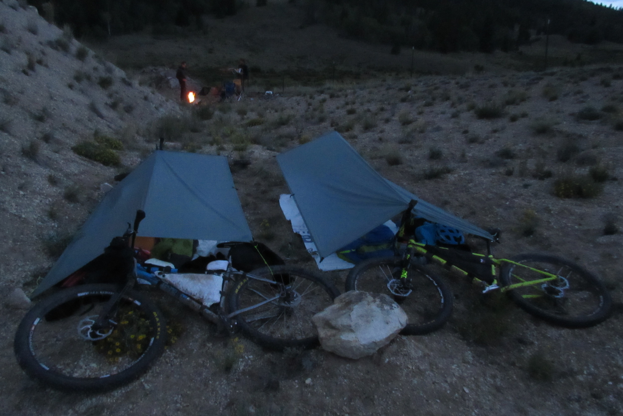
Josh and I were of no use when we got to camp, so Dan (Dad) went across the highway and filtered us a few liters of water while we feebly attempted to set up a couple of tarps.
I ended up just tying one end of my tarp over a picnic table bench and the other end to a log and dragging it semi-taught. It was a pathetic, totally flat, not-very tight structure that drooped mere inches from the ground. Good enough for me, I immediately crawled under into my sleeping bag with all my clothes including my rain jacket on and choked down half a bag of tuna fish before going to "sleep" with unbrushed teeth and another major headache. I couldn't get out of my sleeping bag or my clothes, couldn't get comfortable, and felt strangled by the tarp. Meanwhile, I watched the rain drops accumulate above my face through the thin silnylon.
It was the worst sleep of the entire trip. I was on TERRIBLE, uneven ground, and I only finally got some shut-eye once I thrashed my pad and ground sheet all the way to the other side of my "shelter" up against the bench high-point and got my head outside the tarp. I had to spend a lot of time carefully stripping off my rain jacket, vest and arm warmers as I was then soaking in sweat. Then it rained again and I curled into a ball so my head and feet were back inside.
DAY 5
I felt terrible the next morning: my muscles ached from sleeping wrong, the tarp was soaked, my sleeping bag was damp, and my body was dried out like a box of mashed potato flakes. But my primary concern was my blood pressure. My pulse was faint and I felt very light-headed. We started the day by blasting down a road descent for a mile or two and I rode the brakes, worrying that I would suddenly forget how to balance a bike and fall over at 35 miles per hour. Once I got the blood moving up Slumgullion Pass, though, I was fine!
A day that seemed doomed from the beginning turned into by far the easiest day of the trip. Our single goal was to get through the 56-mile detour #2 and one 12-mile trail segment to meet my sister and brother-in-law at Highway 114 outside of Gunnison at 8pm.
They were bringing us pizza.
The dirt roads after Slumgullion along Cebolla and Los Piños Creeks were amazing - totally worth driving to and riding on a cross bike - and for the first time we were doing everything faster than anticipated.
"What time is it?"
"1:00"
"Holy shit, we've already gone 25 miles!"
We screwed up on water toward the end - probably over-confident from riding along two rivers for most of the day - but we managed to find some marsh water to filter on our short trail segment, then cruised the easy, graded section, riding just about everything, before ripping a super fun descent to Highway 114.
We arrived almost two hours early!
We argued for a little bit about what to do, eventually agreeing to set up camp behind a pile of dirt next to the highway and wait out my sister. As luck would have it, she had been watching the SPOT tracker and knew we were ahead of time, and she showed up about 30 minutes after we got there!
It was amazing to see my brother-in-law Tyler make trip after trip to the car, getting folding chairs, pizza, toilet paper, pie, beers for Josh and Dan and Cokes for me!
We made a big fire, ate strong, and enjoyed being with other people. Just having to be semi-polite was great, and having someone to tell our stories to really reignited the camaraderie that we'd been losing as our spirits were ground into the trail the past couple days. Eventually they hit the road and we hit the sack, warm, comfy, full, and in bed by 10pm.
DAY 6
Our goal for day six was to get to Salida - a massive undertaking as we were told that the segments either side of Sergeant's Mesa were spirit-breakers.
We woke up at 5:30 and were on the trail by 6:15. For about 30 miles, we were on motocross trails strewn with baby heads, teenager heads, and full-grown adult heads. The going was painfully slow. Josh must have eaten too much pie the night before because he spent the entire morning feeling like he was going to barf and unable to eat or drink anything.
We were back to the ol' 3mph pace of day two: walking slowly up a loose, rock-strewn hill through the fog, then descending some rock-chute, shaking our brains around our skulls.
I was losing my morale after misreading the guidebook and missing a water source, then thinking we still had about ten miles to the top of the Mesa.
Luckily, I was way off and we made it through the end of the first segment of the day which spat us out into a ripping descent down to Tank 7 Creek.
Josh felt better and we took a big break at the very nice Tank 7 campsite to eat shit-tons of summer sausage and cheese, drink several liters of Powerade, and rest up for the next few miles of moto hell before the Continental Divide.
The rest of the day was just as brutal, but a lot more pleasant. We slowly wound our way through more piles of rocks along the edge of a valley before hitting our last big climb - a hilarious cascade of loose rocks, often so steep that we had to push our bikes, press the brakes, take two steps, push our bikes, press the brakes, etc. The "epicness" of this climb was lampooned by the absurdity of a long string of fat men bouncing slowly down it on motocross bikes (one of whom exclaimed, "this is exhausting, huh?").
We finally made it to the top at 4pm or so, descending along the Continental Divide to the familiar territory of the area above the Rainbow Trail before Marshall Pass.
We'd known most of the day that we wouldn't have the time to ride the Monarch Crest before dark, and we'd be damned if we didn't make it to Salida that night, so we took one of the many shortcuts available, a "locals only" trail that spat us out on Starvation Creek and a long series of downhill roads into Salida.
We made it to Rafael and Claire's house (our other former roommates) by 7pm and enjoyed a massive dinner and all the ice cream we could eat.
We took showers, slept on a futon, and had visions of breakfast burritos dancing in our heads!
DAY 7
Josh made the decision to abandon in Salida and I made the decision to spend a good chunk of the day hanging around town before we headed back out onto the cruel trail, so we went out to one of my favorite breakfasts of all time at Sweeties Bakery. We had like three french presses of coffee and several pastries before our MASSIVE breakfast burritos showed up, topped with eggs over easy and drenched in green chili! All the locals were talking about the previous day's USA Pro Cycling Challenge stage that snaked through town, then went back up Monarch Pass and finished at Monarch ski area.
"They tell me I have to park my goddamn truck in Poncha. We were stuck there for an hour. It's fucking stupid!"
or:
"The Colombian guy was off the front, then the Polish guy goes. Then him and Teejay are the only ones left."
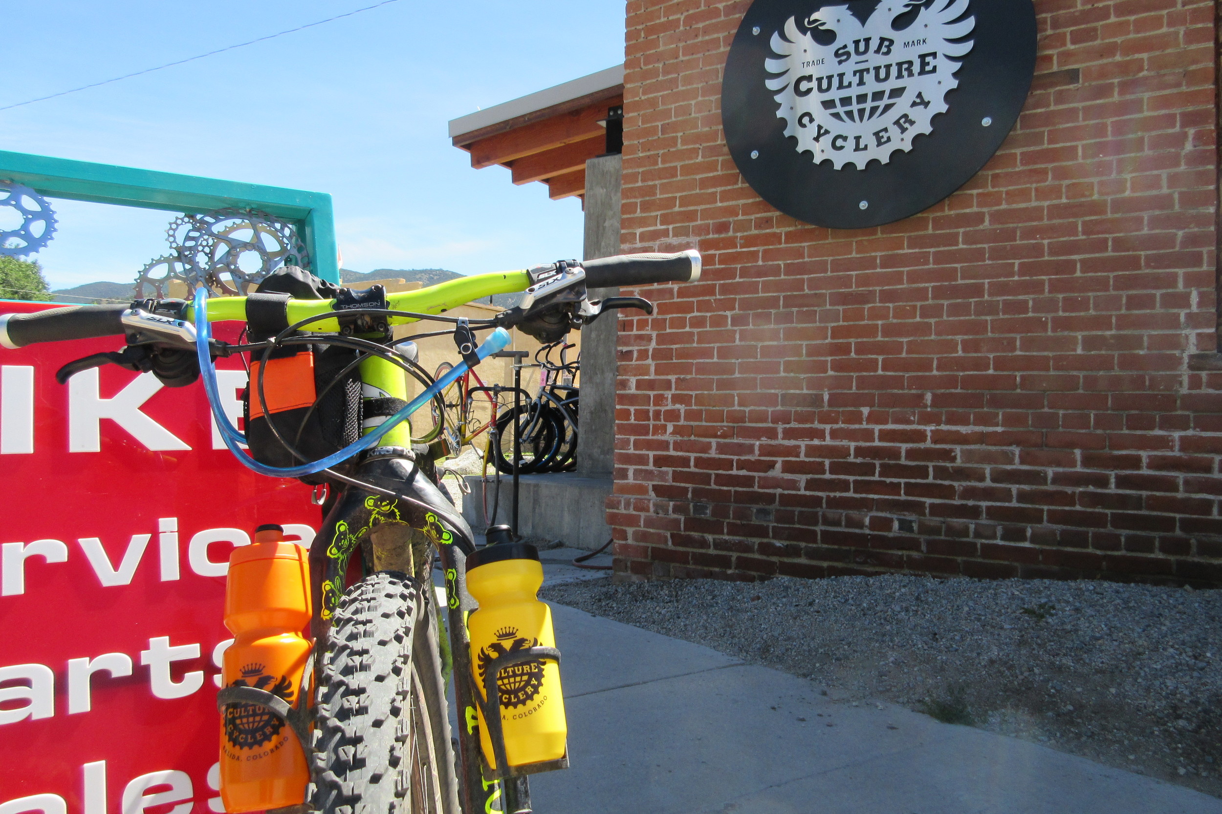
Dan and I went to Subculture Cyclery, and I switched out my bottles for some new, fresh Bidens that didn't taste like mold.
We finally made our way out of town at about 3pm, accompanied by Claire and Rafael, who decided to make a big day trip out of leading us back to the trail on the "proper route" (which cut out all highway riding and about 8 miles of trail), then riding the first few miles of the trail with us before dark.
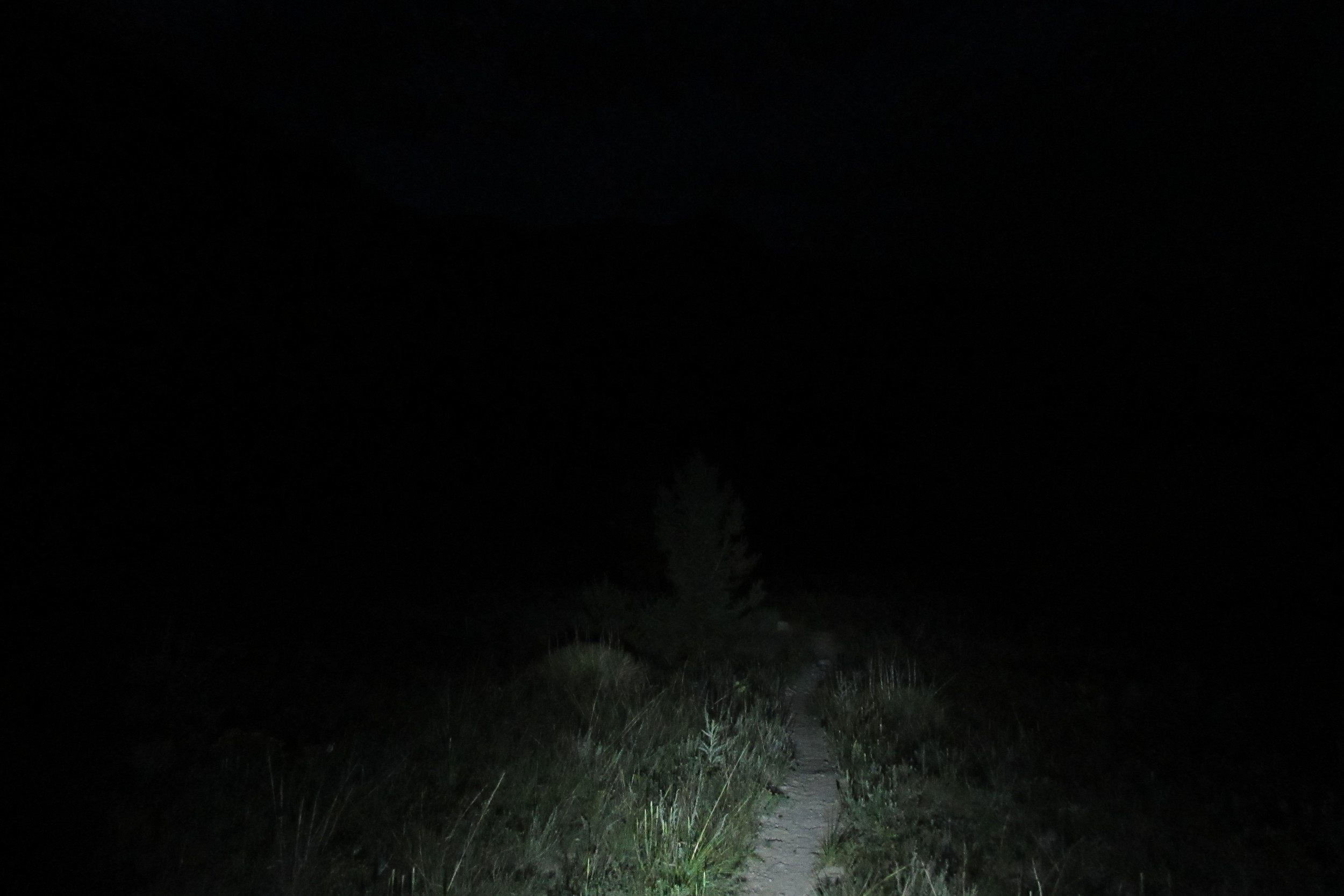
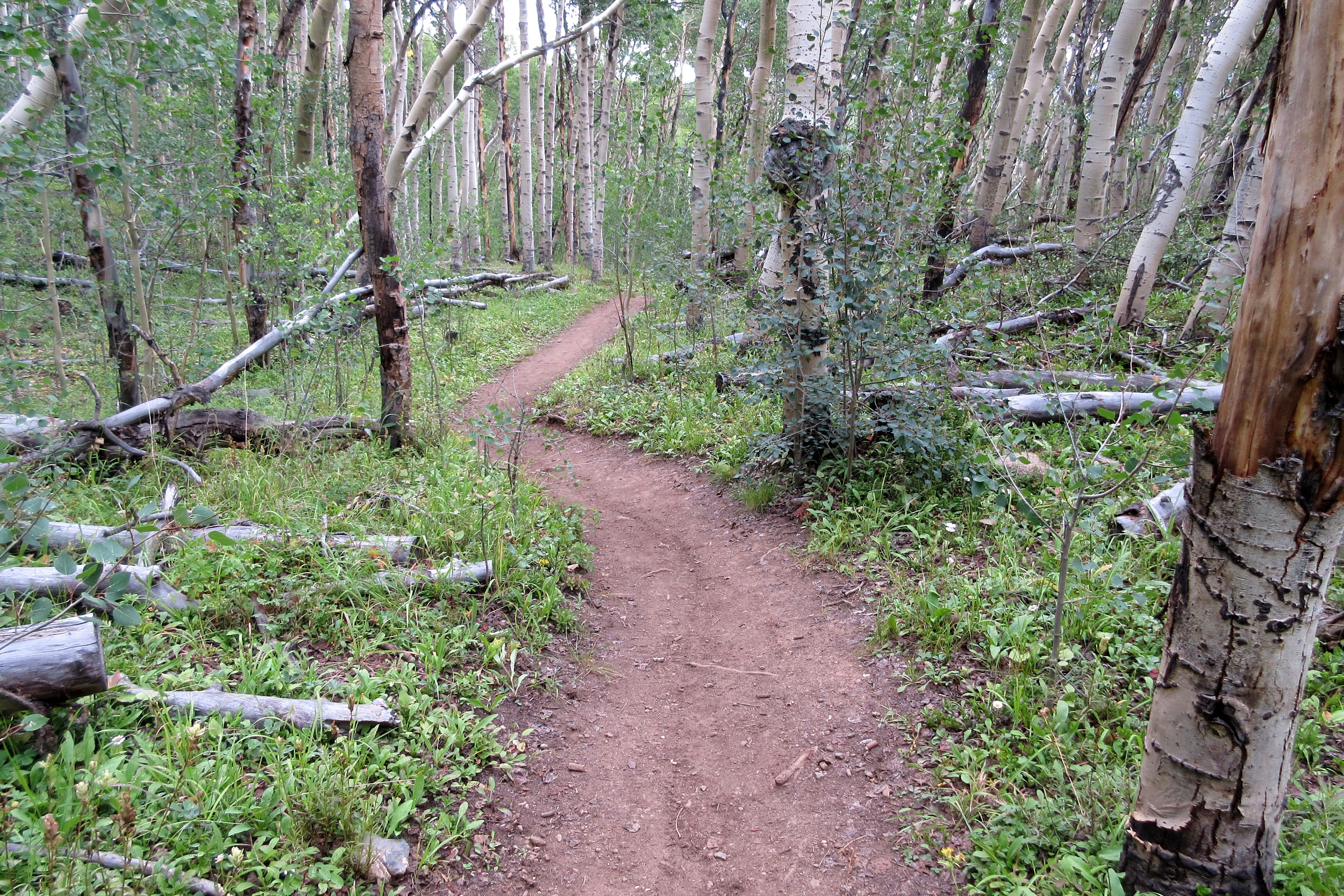
In stark contrast to day six, the Colorado trail was actually very fun and very much a trail that you would intentionally ride on a mountain bike on. We ripped on through the twilight, riding one final hill, before turning on the lights and skidding down the wild rock-pile that spat us out on the roads above Mount Princeton Hot Springs.
Riding near Mount Princeton at night was one of the most bizarre experiences of the trip. For day after day, we'd been on a trail with nothing around us. The mere sight of a light in the distance was noteworthy. But as we neared the Mount Princeton Hot Springs (google it) we could see signs of extreme wealth and luxury all around us. Apparent mansions loomed from nearby hillsides. Lines of lights illuminated long walkways to ritzy lodges and leisure ranches. Finally we made it to the hot springs and stood dumbfounded, staring at a massive ballroom full of grown men in suits and ties dancing with teenage girls in fancy dresses at some sort of apparent Wednesday Night Bat Mitzvah?
We took a left and went back uphill where we belonged.
A jeep road took us halfway up Mount Princeton, then deposited us back onto the Colorado Trail for a couple miles of easy traversing with the lights of Buena Vista visible below on our right.
We found an excellent campsite at about 11pm and Dan went back for water, leaving me to set up our single tarp we kept, and I feel like this was the first night that we actually properly set it up, noosing one end around a tree, the other end around a handlebar, and the sides staked down with nice, uniform guy-lines that Dan had tied out with slip knots that morning. It seemed so easy after all our earlier struggles.
The ground was soft, the Powerade was fruit punch-flavored, the firewood was plentiful and littering the ground, and the 3g was flowing freely. We could see the lights of Buena Vista below and practically taste the coffee and pastries!
DAY 8
Our goal for Day 8 was to get to Copper Mountain and we were prepared to cheat to do it!
It was 100 miles away, but with a bunch of road miles to breeze through. We shredded the few miles of singletrack and took the first road we crossed straight into Buena Vista (taking off about 5 miles of trails going up and 5 miles of road coming back down). We found a nice, very popular coffee house/bakery that specialized in wrapping virtually anything in dough and baking it. We ordered almost all of it.
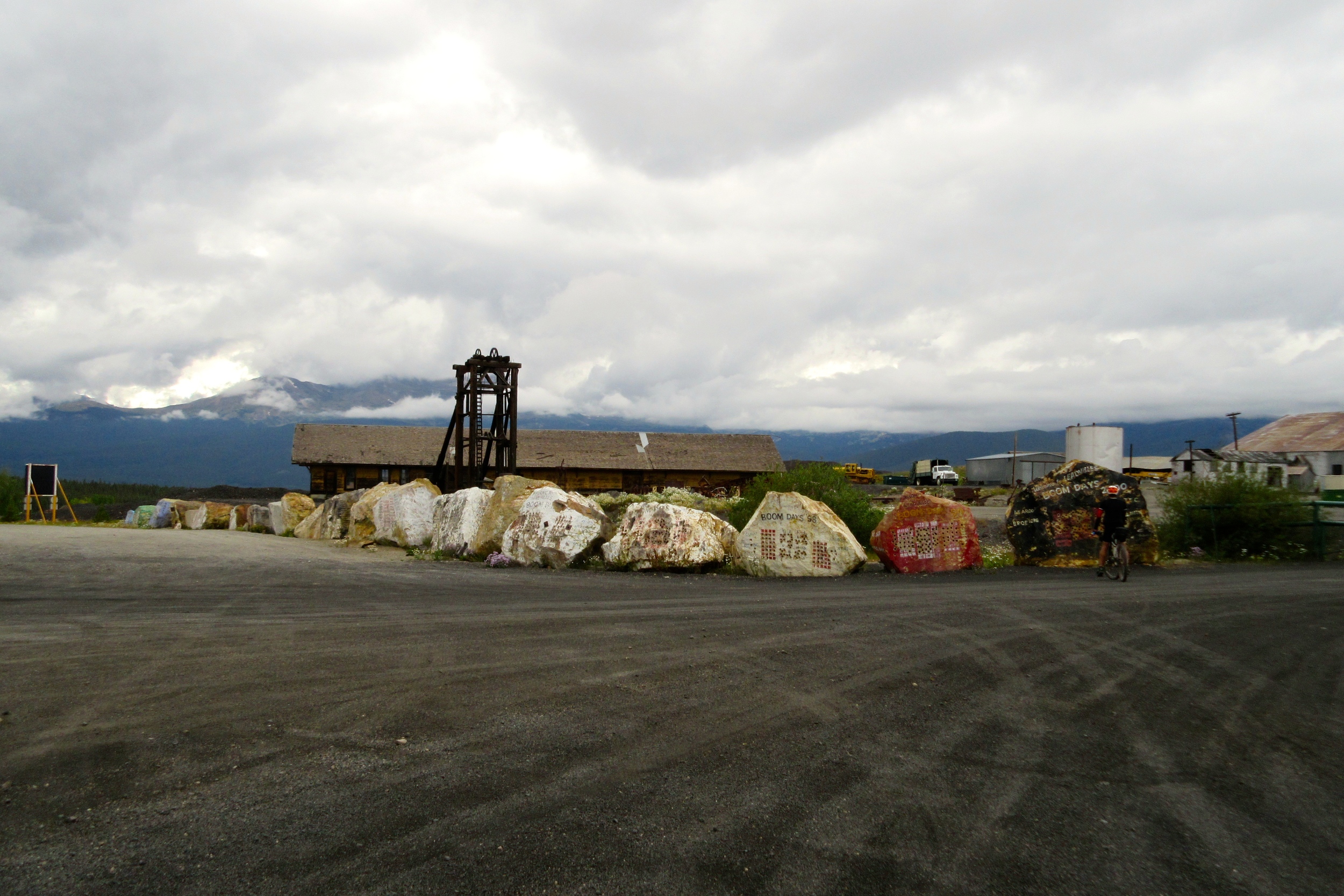
After drinking several cups, charging up our phones, and shaving a few grams, we hit the road - which happened to be a really cool dirt road along the former railroad line along the Arkansas River toward Leadville.
We considered skipping the trail segment, but since it covered some of the best singletrack on the trail and it would have made our day almost entirely road, we took it. 20.5 miles took several hours as we climbed way the hell out of the Arkansas Valley, then descended back into it, then climbed a big saddle outside of Leadville. But the trails were indeed very nice (even though we were going the wrong way for the real downhill), and we made it back onto the roads heading into Leadville.
My friend Meister works at High Mountain Pies in Leadville, so we stopped by for a couple thousand calories, a coke, and a fist-bump. We said something about the Leadville 100 and the staff groaned. Apparently Leadville 100 racers are a bunch of self-centered, impatient, entitled, type A assholes. Who woulda guessed?
We bought more cheese at the Safeway and hit the road toward Tennessee Pass, again cheating and just riding the road over the hump, turning on our lights, and blasting down the other side, getting back on the trail shortly before Camp Hale.
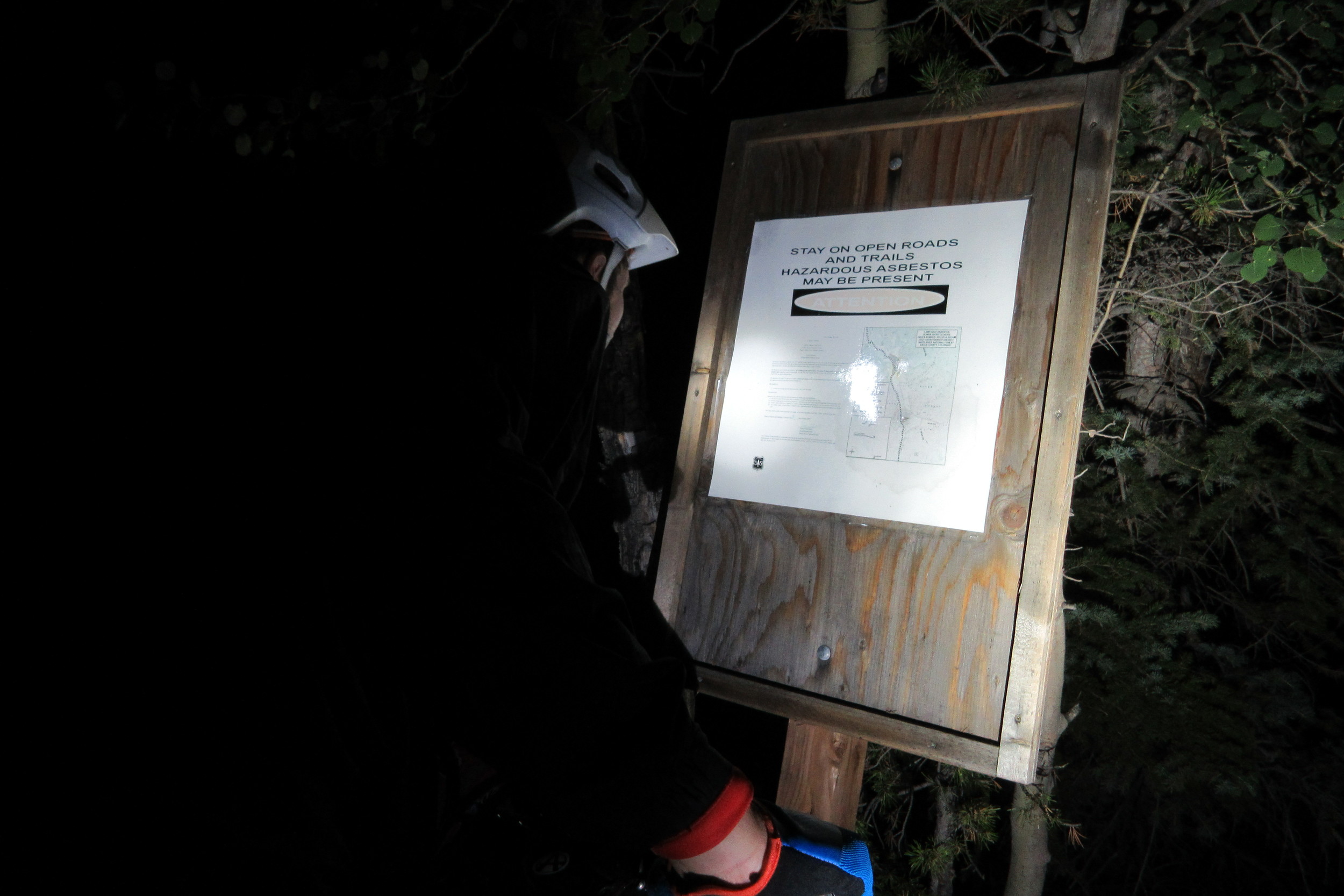
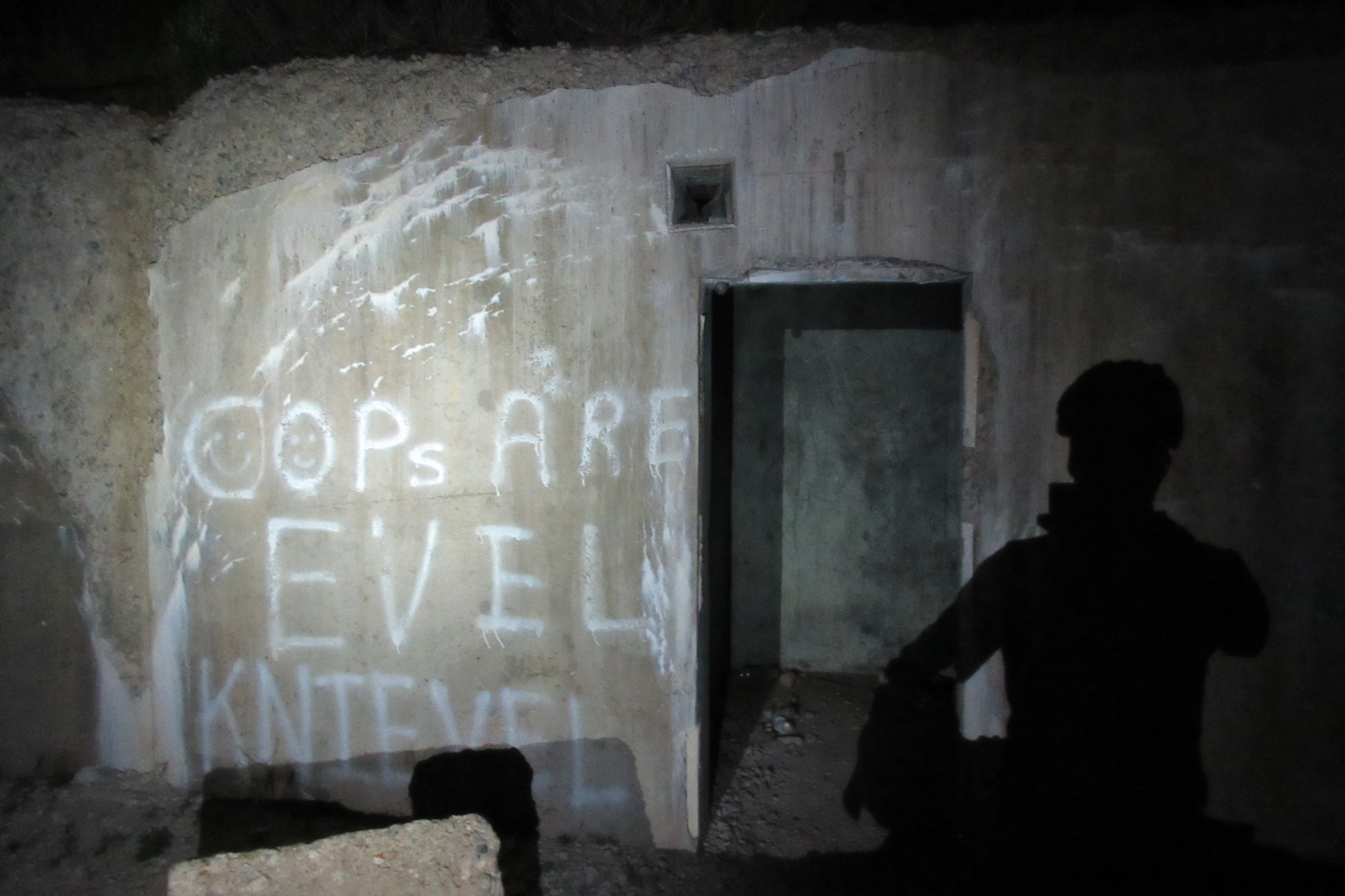
Boy is Camp Hale a weird place - especially at night.
I had such willies that I asked Dan not to ride (hike-a-bike) too far ahead of me on the climb into 10th Mountain Division territory. and our campsite.
Another night, another creek, another perfect campsite.
Dan went and got water for Powerade and I set up the tarp, this time on hands-down the most perfect ground of the entire trip!
The firewood was pretty wet, but we were determined to start a fire. This was our last night on the trail. Even though we were nowhere close to being finished, my time in Colorado was almost elapsed. It was Friday night and I had to be on a plane early Monday morning. From the beginning, I'd known that Saturday would be my last day and if we didn't make it, we'd just have to quit wherever we finished.
It was almost sad knowing that this was our last night sleeping under a tarp, out in the woods, 10,000 feet above sea level, our sleeping bags 3 inches from being rained on. But it also sounded pretty awesome to go back to Portland and sleep in my bed.
DAY 9
Apparently it rained hard overnight, but I didn't even wake up. You could see water all over the tarp in the morning, but when you touched the inside of the tarp, it was bone dry.
We packed up and hit the misty morning meadows, thinking about 10th Mountain Division recruits with skis and guns training here in the winters of World War II.
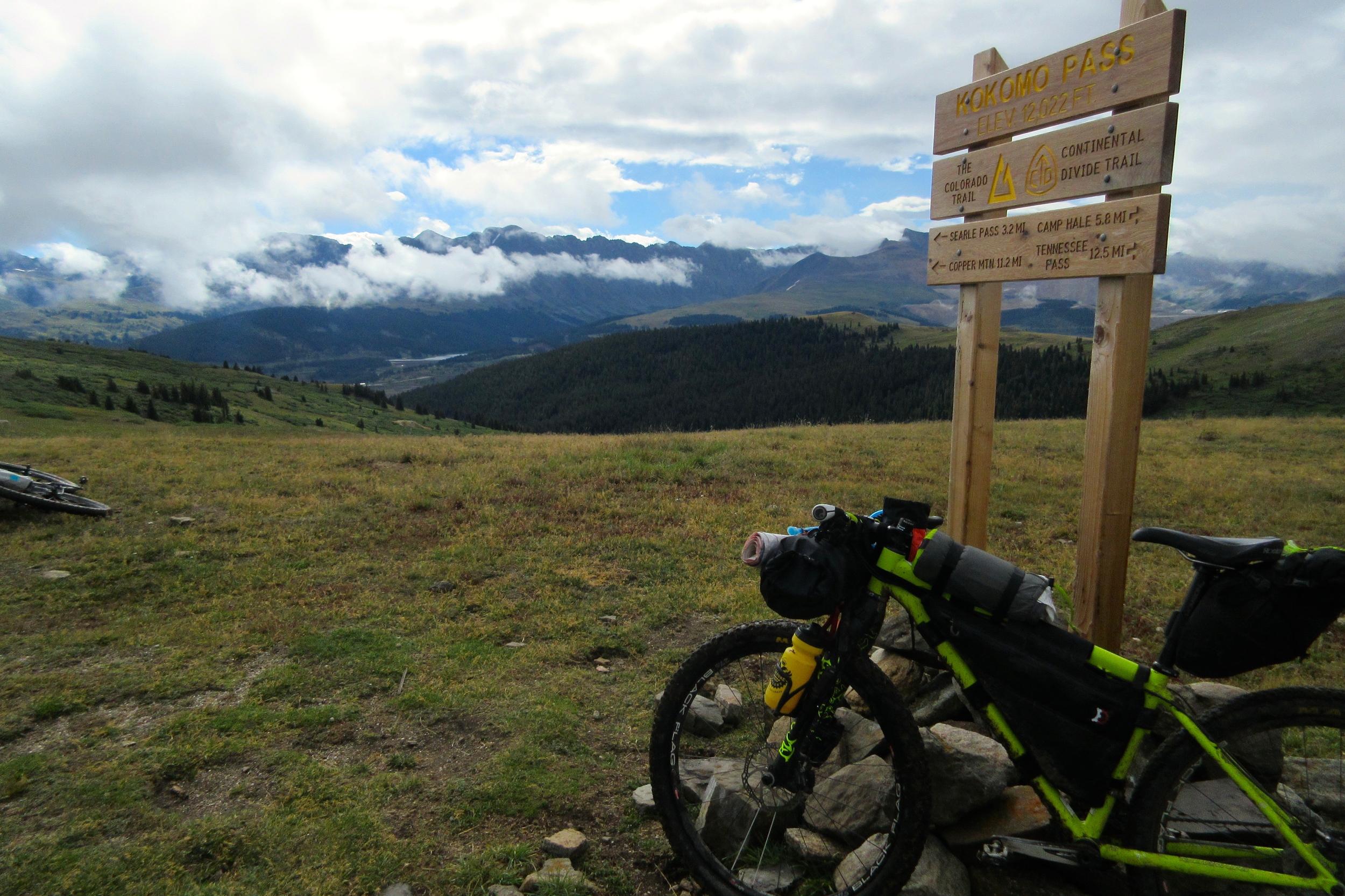
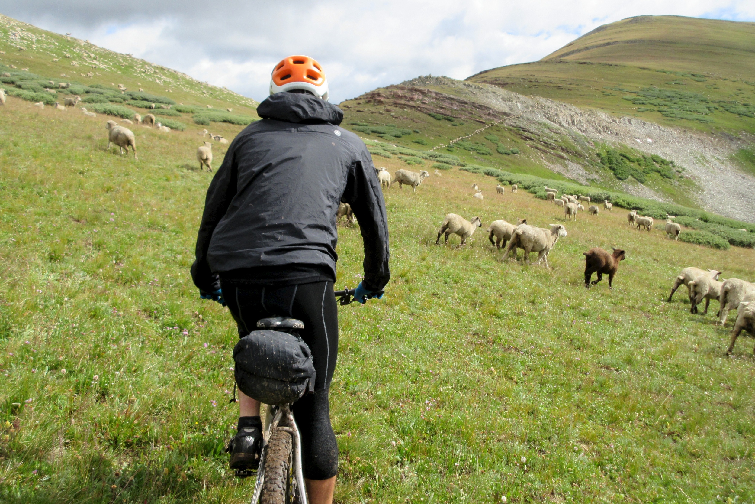
We hit Kokomo Pass easy enough, and traversed toward Searle, informed by some hikers that we were about to see about as many sheep as we'd ever seen in our lives. And sure enough, there they were. As we approached Searle, we started to understand that every white speck on that high watershed was a sheep. There must have been 1000 of them! And they were making the most hilarious noises. We "baaaahhhed" back at them and kept riding. Eventually they were all sort of going the same direction as us, but they didn't seem dangerous in any way - just really stupid.
Once we crossed Searle, we were immediately presented with signs of civilization: a group of total bros rode by the other way on unloaded Santa Cruz Bronsons and the like. An ultra-nice cabin appeared below us. groups of day-hikers walked up the trail.
I was in no hurry as I was more or less certain that we wouldn't have time to start the very long segment between Breckenridge and Kenosha Pass, so I stopped to air up my tire. When I caught up to Dan he said, "did you happen to see a SPOT tracker?"
The SPOT had rattled off his bag. Since we were at that point close to Copper Mountain ski area, we had cell service and we triangulated the SPOT's location to back in the middle of all those sheep at the top..
Knowing that Kenosha was out of the picture, Dan volunteered to ride back up and get it. I volunteered to cruise down to Copper Mountain and drink coffee and look at the Internet while I waited.
After a long time at Copper and a couple of messages to my Dad requesting a pickup in Frisco, we got back on our bikes and headed straight into another 3,000 foot climb up the backside of Breckenridge ski area. It was so windy by the top that we could barely ride on the singletrack. It was raining all around us, but somehow as the clouds crested the ridge, they stopped raining before they made it to us.
We had one final skull-rattling descent from 12,500 feet back down to civilization.
We got to an intersection. One way said "Frisco," the other said "Colorado Trail." This was our last stop.
We were immediately rewarded for quitting the trail as it went up a small saddle and we went down a ripping creekside descent with jumps, bridges, and berms.
We were deposited onto Frisco's high-country recreational paths system and rode to the Mexican place, arriving about a minute and 45 seconds before my dad with his car and bike rack.
- We quit 104 miles before the end of the trail, so we probably had more than 104 miles left as there was still one long detour.
- Nobody actually knows how many miles we rode or how many feet of elevation we did, so I'll guess:
- ~410 miles ridden
- ~60,000 feet climbed
- ~24 hours hike-a-biked
- ~4.5mph average speed
Tips for Success!
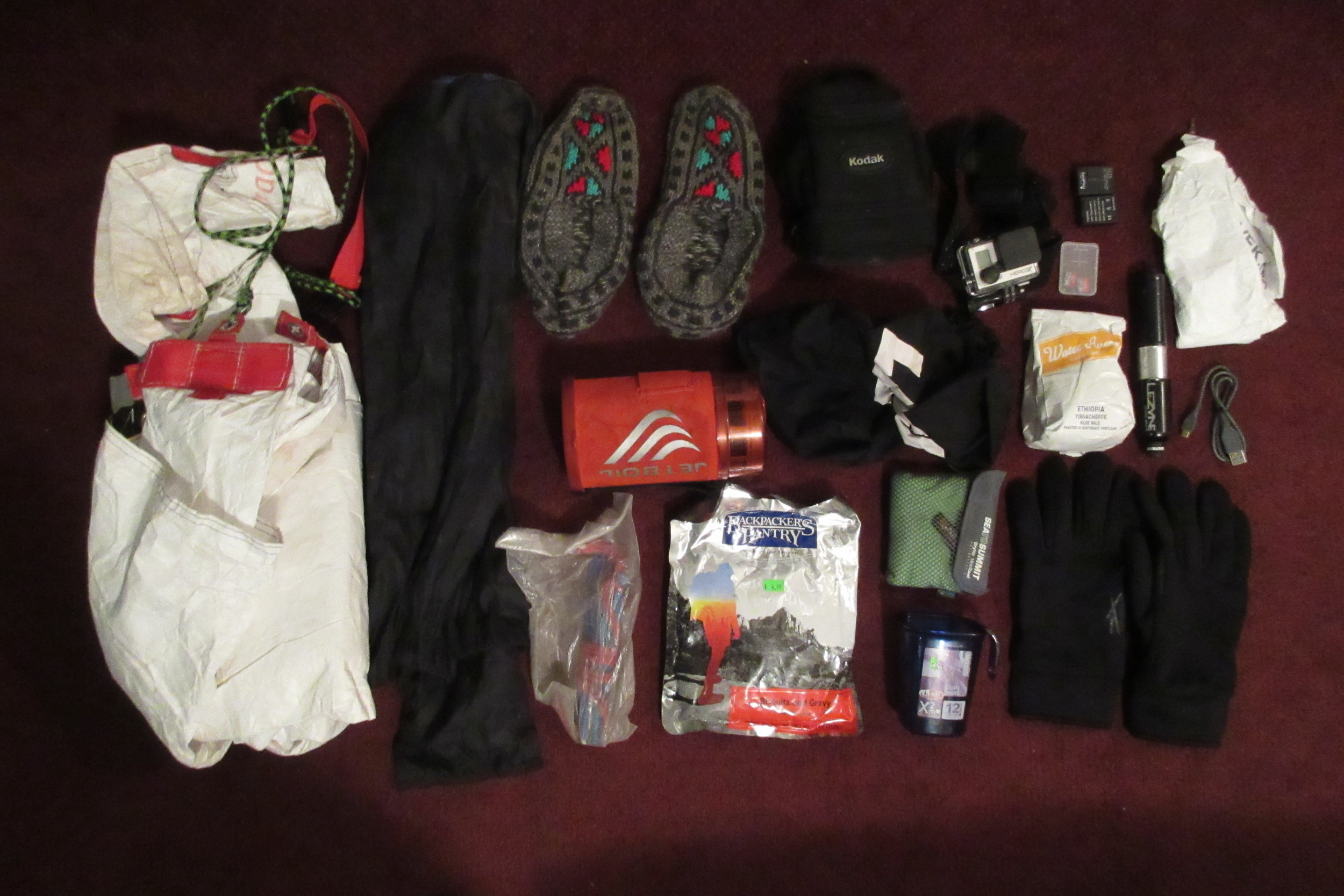
- Take as little weight as possible. I know this sounds trite or whatever. "Yeah, no shit, bro." Seriously though! I thought I "needed" a Jetboil and coffee. Yeah right, not once I pushed it up a hill for 10 hours! I thought I "needed" camp shoes. Hell naw, send that shit back! I thought I "needed" my gigantic, custom tarp. No way, all you need is love (from the man sleeping next to you)! Bottom line: ONLY survival items! Not only does it suck to push extra weight up a hill, extra weight adds extra space and that all adds up to extra swinging weight that mikes you bike handle like shit. Tighten it up!
- Get acclimated! Altitude was a serious challenge for me, living at essentially sea level. I had a headache most of the time above 11,000 feet on days two, three and four. On day four I found that if I kept my efforts under a certain threshold, I was ok. After day 4, I never had any altitude problems, although we certainly went above 11,000 feet again. That kind of altitude will be hard on anyone, but if you live at sea level, I highly suggest you either acclimate for a week before you start or at least start with the lower stuff in Denver. I think I would have been a lot better off during the high segments had I started in Denver. Of course i would MISSED them and probably had to quit in Silverton..
- This trail takes longer than you think. I know you're probably reading this saying, whatever, this jerkoff just doesn't know how to suffer. Maybe so, but I'll bet this takes you longer than you think it will. Give yourself a couple extra days of wiggle room.
- Maxxis Ardent. It's the only tire anyone rides on the Colorado Trail.
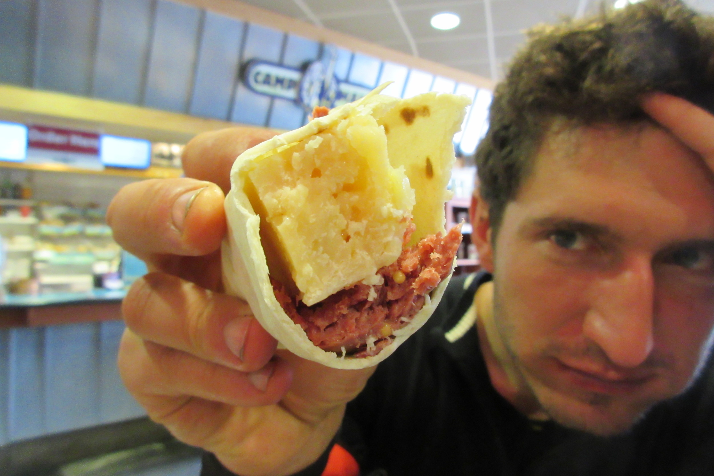
- Cheese. It's small, it's physically dense, it's calorically dense, it crams into any hole, and it's delicious! After eating so many bars and drinking so many aids, only cheese can whet your appetite!
- Wear comfortable hike-a-biking shoes
Will You Do it Again?
Dan asked Josh and I halfway through if we wanted to do the Colorado Trail Race now?
"Fuck no!" we both responded in unison.
But like some kind of infectious disease with delayed symptoms, I'm only now starting to feel the first pangs of Colorado Trail fever more than a week later.
Goddammit, Colorado Trail, I'll finish you eventually!
Why?
We spent hundreds - if not thousands - of dollars to push our mountain bikes over alpine ridge after alpine ridge, eating unrefrigerated cheese, shitting in the woods, and sleeping under a miniscule tarp, off-kilter, endlessly rolling out the side into the rain. And in the end, we didn't even finish.
"Why do it?"
How about I answer that question with another question: why do anything?
Isn't working a job and paying your bills just as meaningless as pushing a bicycle up a talus slope? Isn't finding love, mating and expelling offspring just as inconsequential as taking a shit in the woods and crudely burying it?
Modern human existence is inherently uncertain and complex. Think about it: we spend years going to college, working internships, networking, curating online profiles, forging alliances and for what? So we can die with a slightly better relative social position?
There's a sadness there.
On the Colorado Trail, you get to have only one goal in life: to keep going. Everything you do - sleeping, putting on rain gear, taking off rain gear, filtering water, drinking water, pedaling, walking, eating, shitting - everything you do supports your single goal. It's a perfectly authentic experience. And at the same time perfectly absurd, as you know that it's entirely self-imposed.
The meaning of life is simple when you're out there: go that way!
Unless you're riding the other way. Then, you know, go the other way...
*p.s. Altitude training works. I've been back for 10 days, raced two cyclocross races, and felt like a superhuman.